DELETE - I am transitioning my Short VFR flight plans to be Ultralight Sightseeing flight plans. For low, slow valley flights, MSFS does not render waypoint markers appropriately because of terrain variations. This plan will be a poor visual experience for low, slow flights.
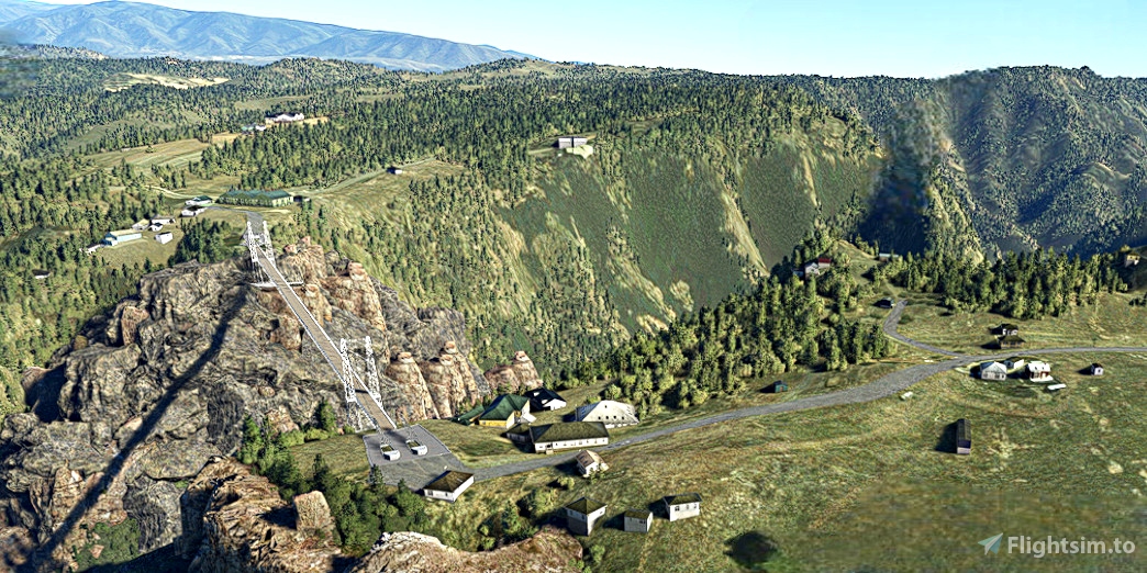
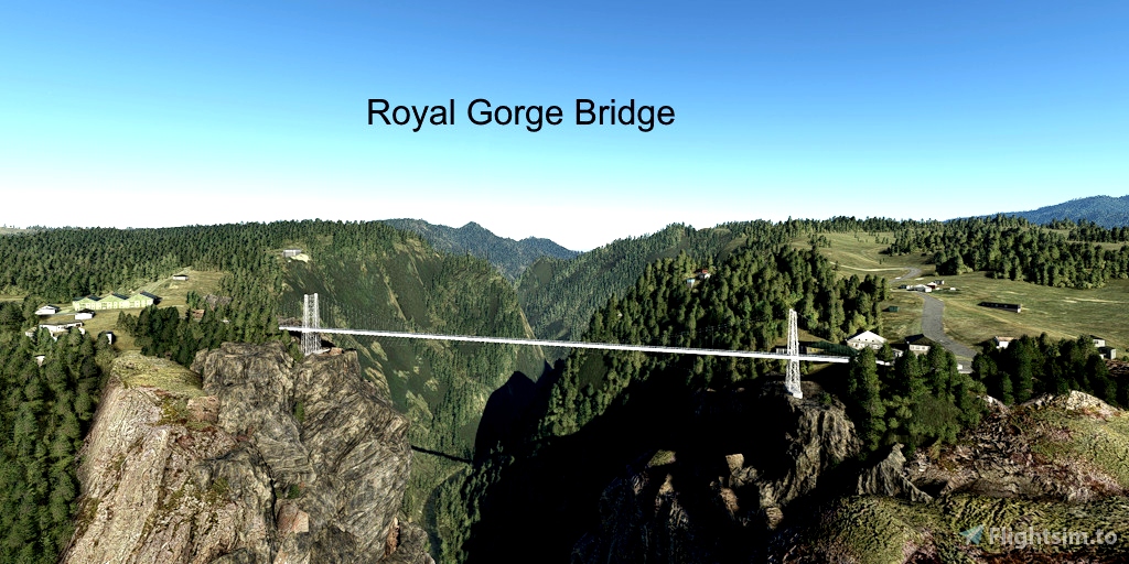
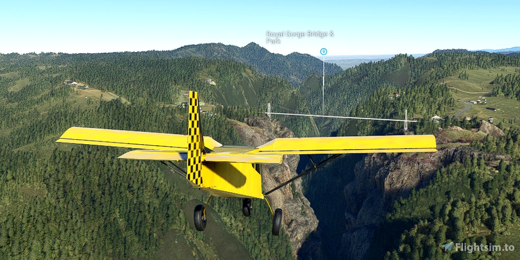
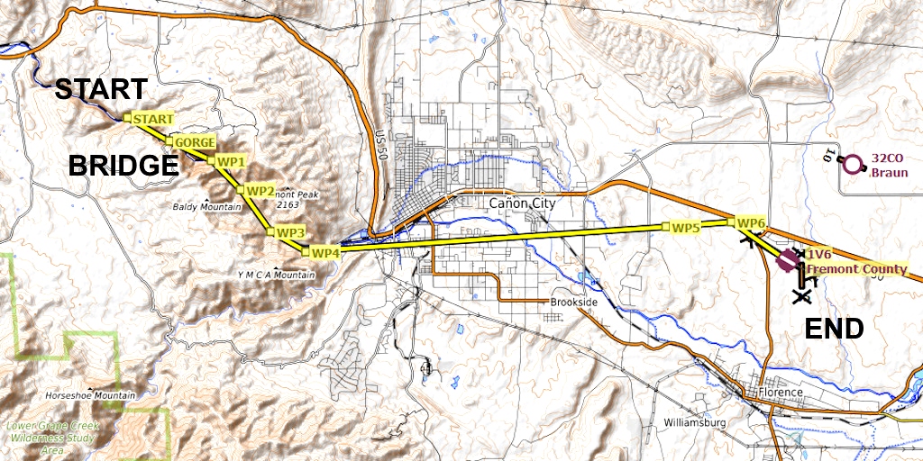
The Royal Gorge Bridge is near Canon City, Colorado. The bridge is nearly 1,000 feet above the Arkansas River, and is 1,260 feet long. It was the the highest bridge in the world from 1929 until 2001, and remains the highest bridge in the United States.
Runway that departs in the direction of the flight plan: 28
Distance: 26 nautical miles
The waypoints are displayed in the river valley and may be partially obscured by the hills. Simply follow the river.
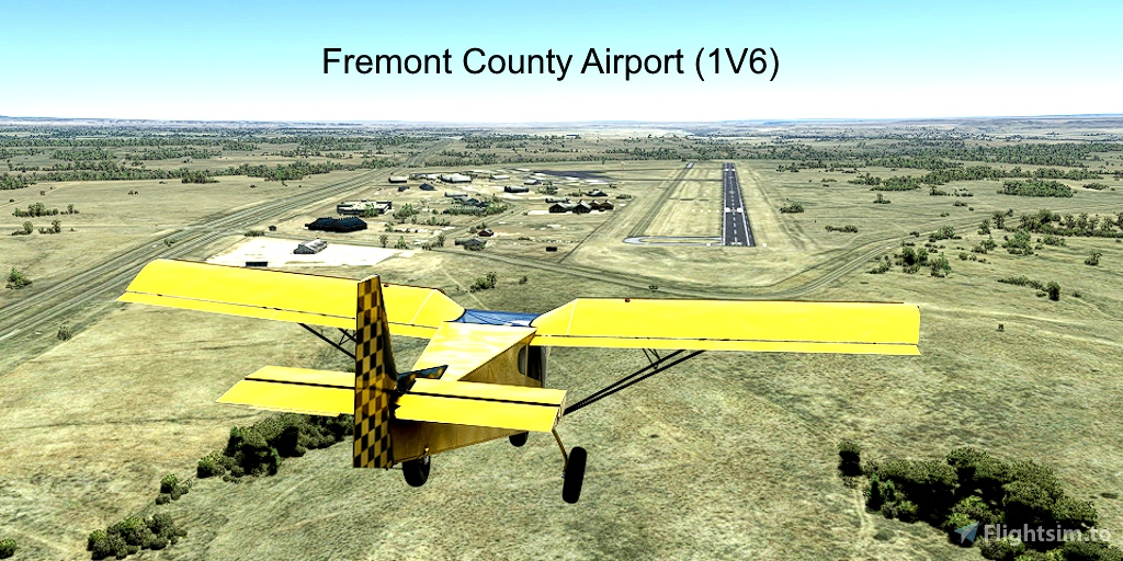
Fremont County Airport is closed, but works well for this flight plan.
REQUIRED: Turn off AI ATC communications to properly display the visual waypoint markers in this plan:
Options > Assistance Options > Piloting > AI Radio Communications (ATC) > Off
REQUIRED: The relevant World Update (region) must be installed to ensure that the desired points of interest are displayed. World Updates are free in the Marketplace:
Welcome tab > Marketplace > search for "World Update"
RECOMMENDED: Aircraft that cruises at less than 85 knots per hour. Slower airspeed = better display of visual waypoint markers.
RECOMMENDED: Turn off City Markers to declutter the screen. Low-altitude waypoints are often lost in the clutter of the city markers.
Options tab > Assistance Options > Points of Interest > City Markers = Off
See the included "README.pdf" file for additional instructions and tips.

 FederFlyer

