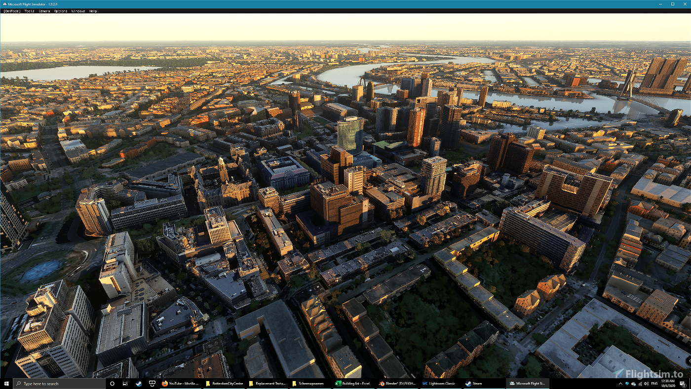
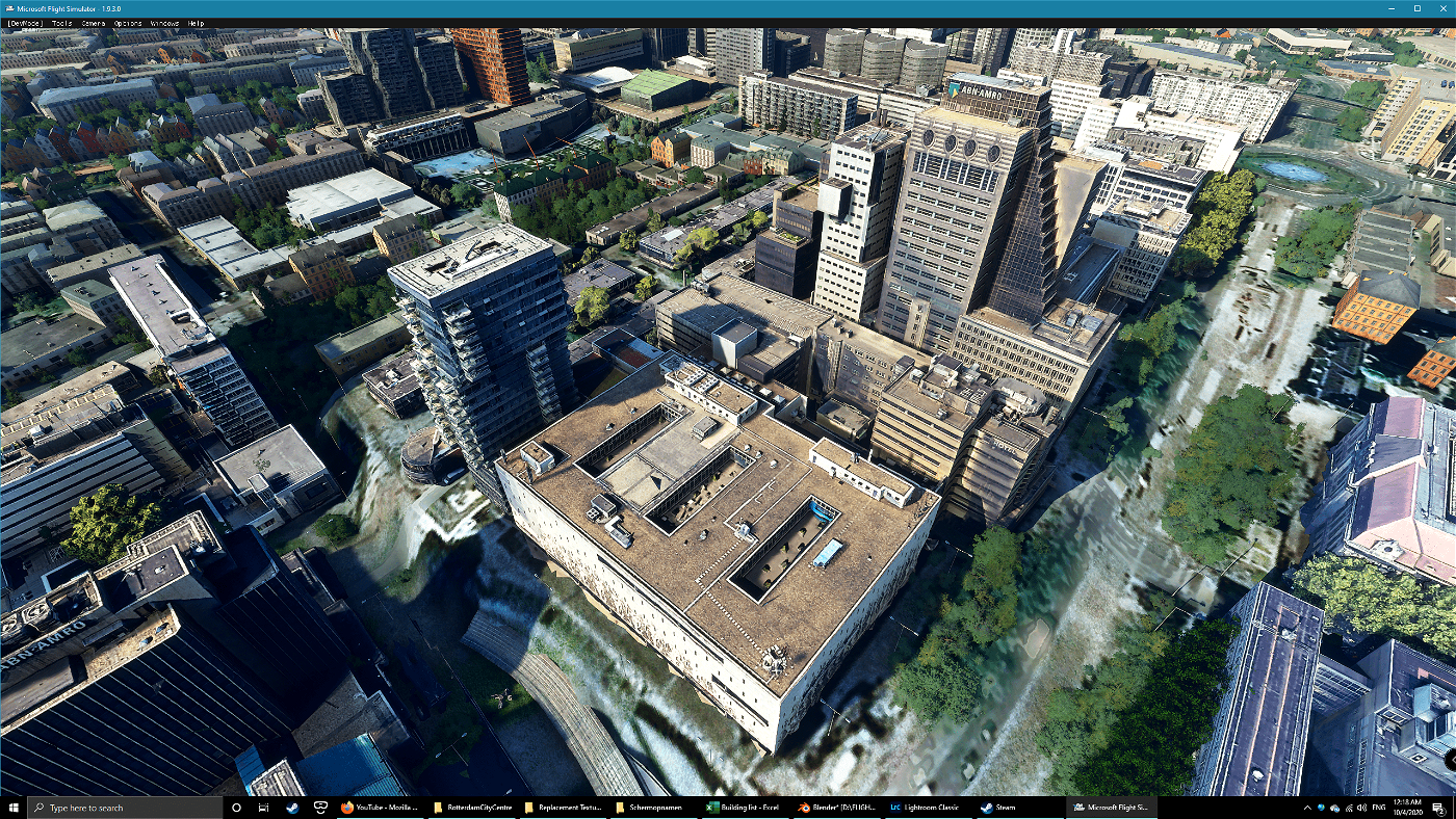
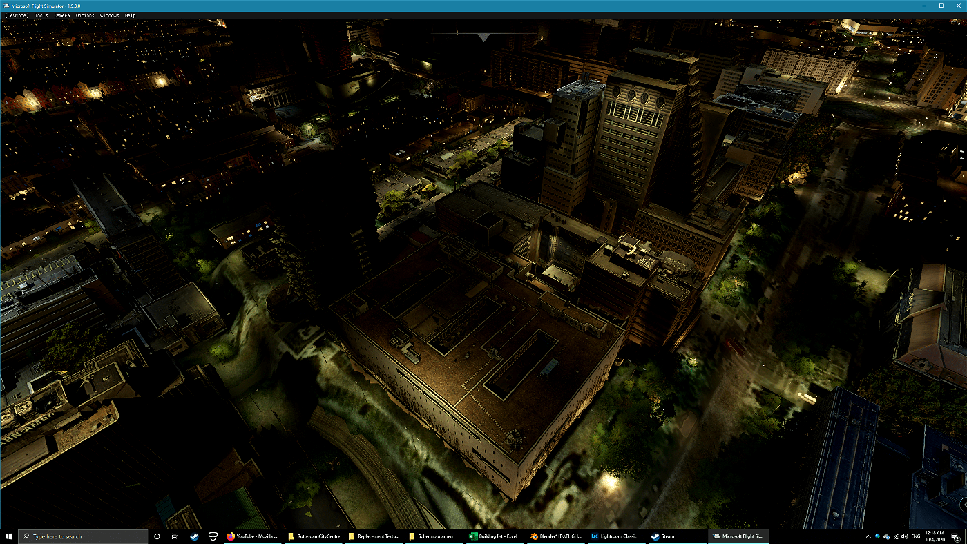
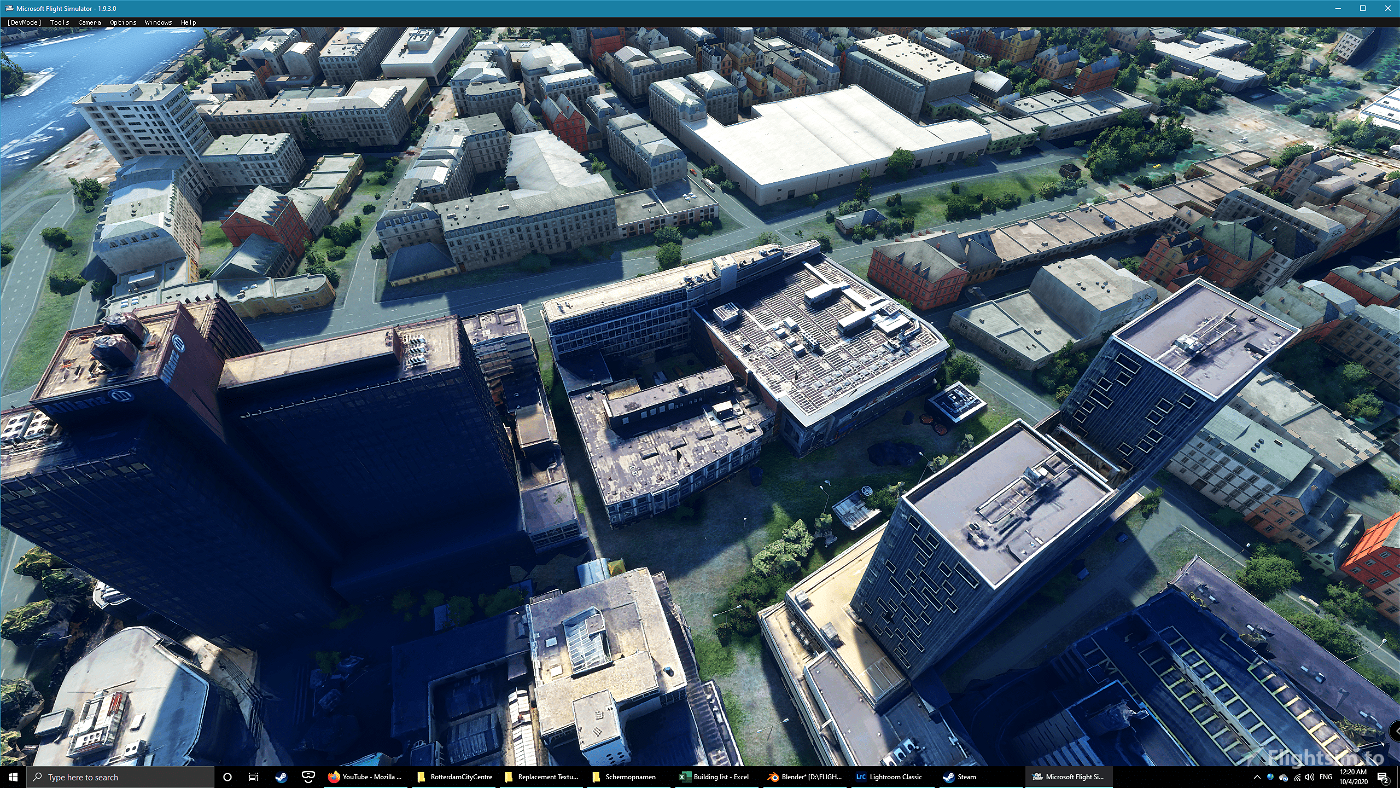
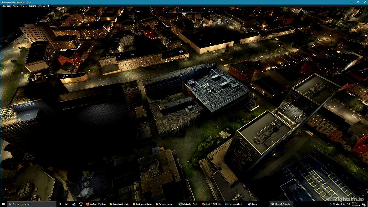
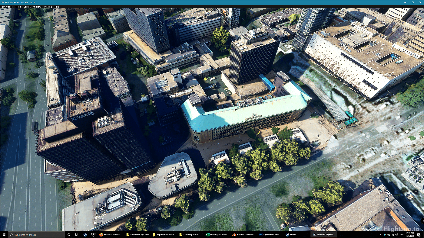
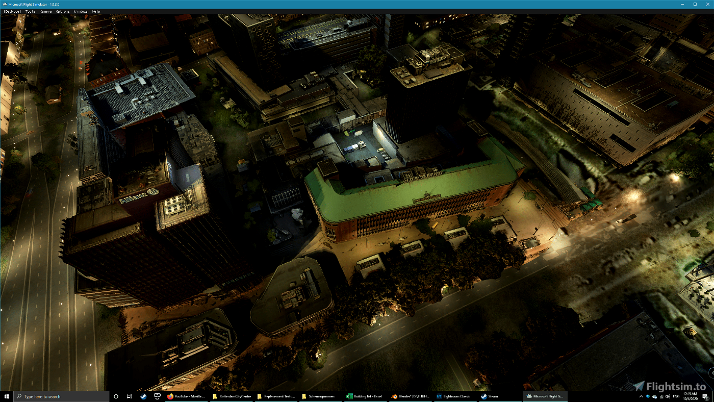
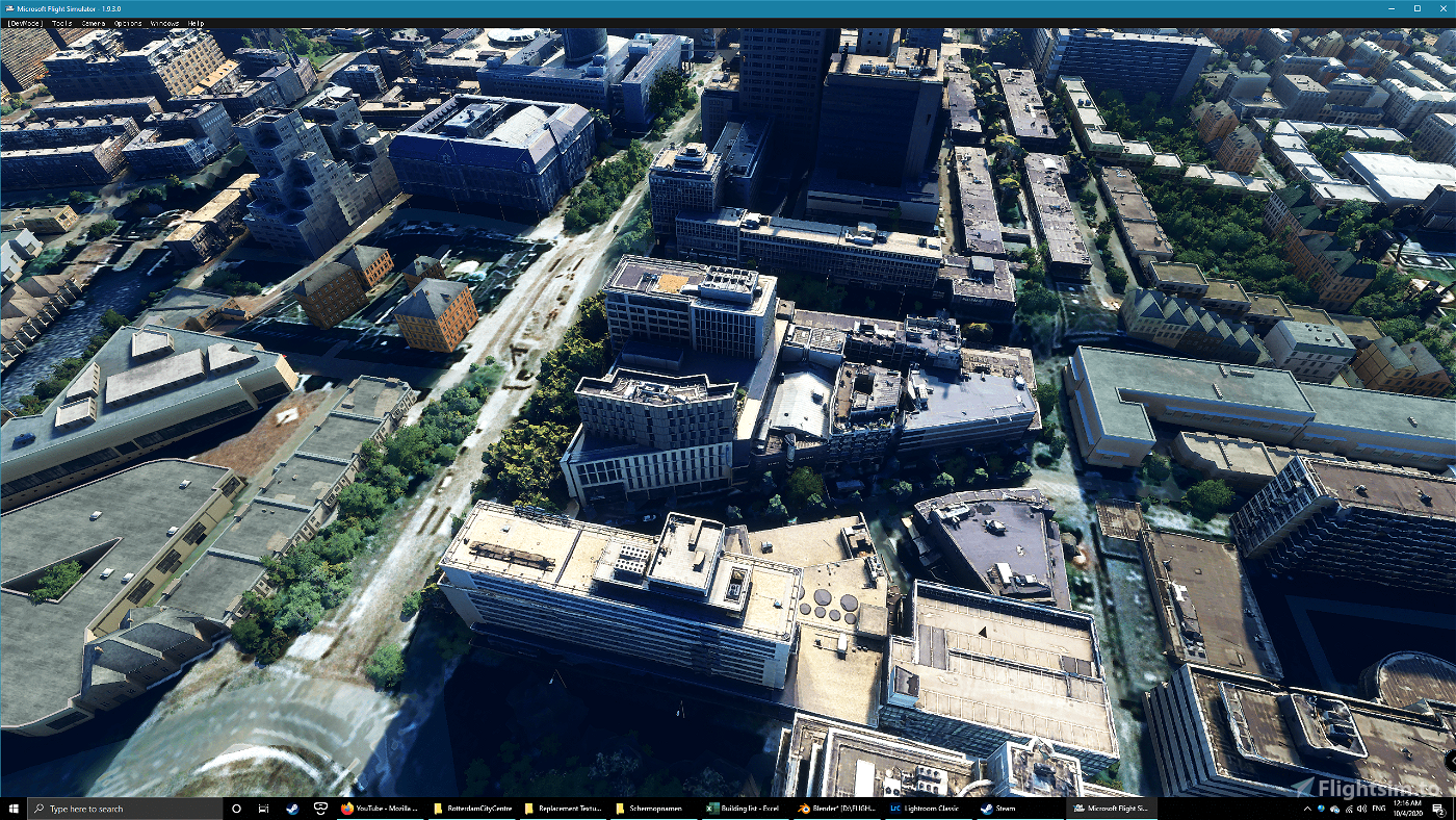
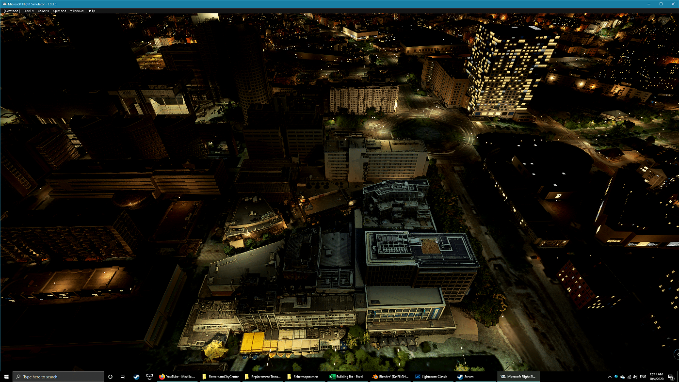
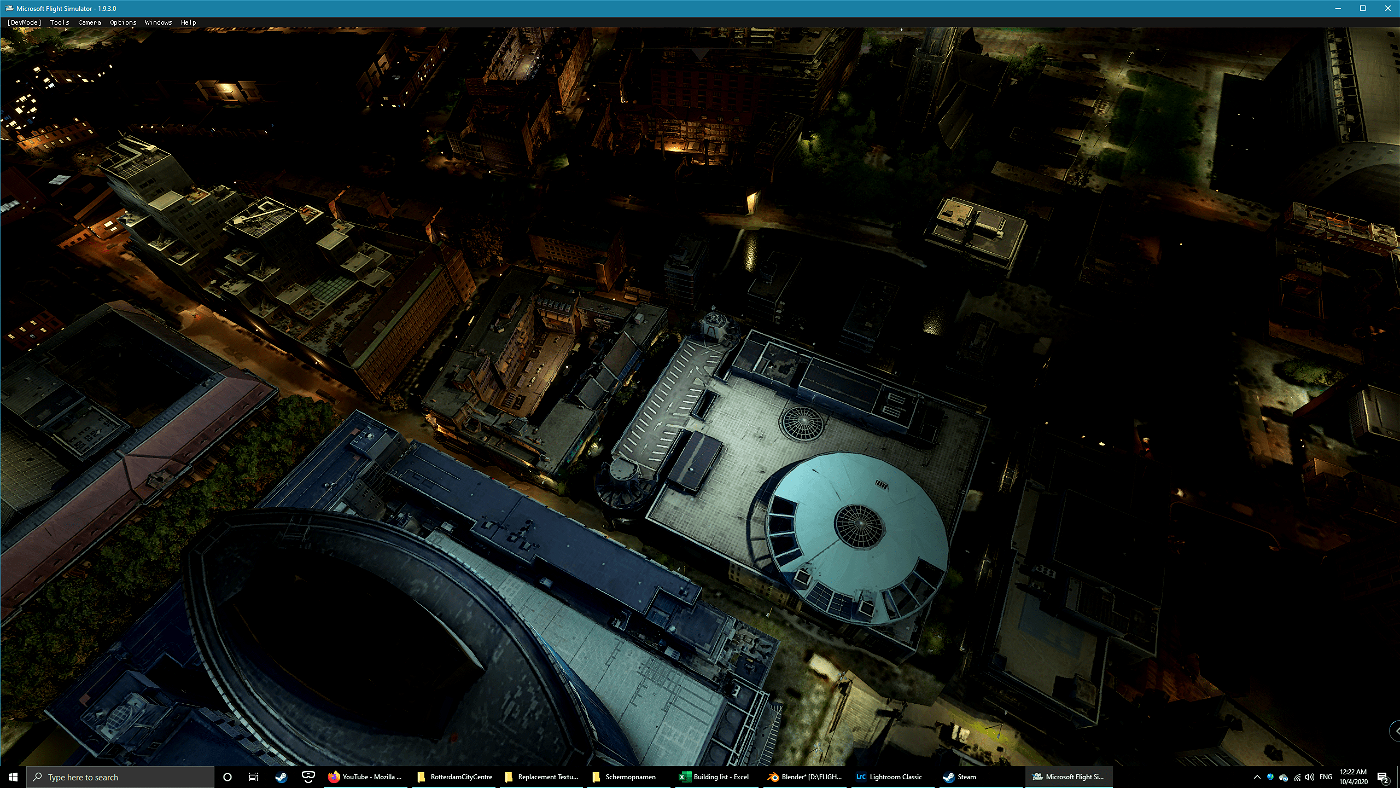
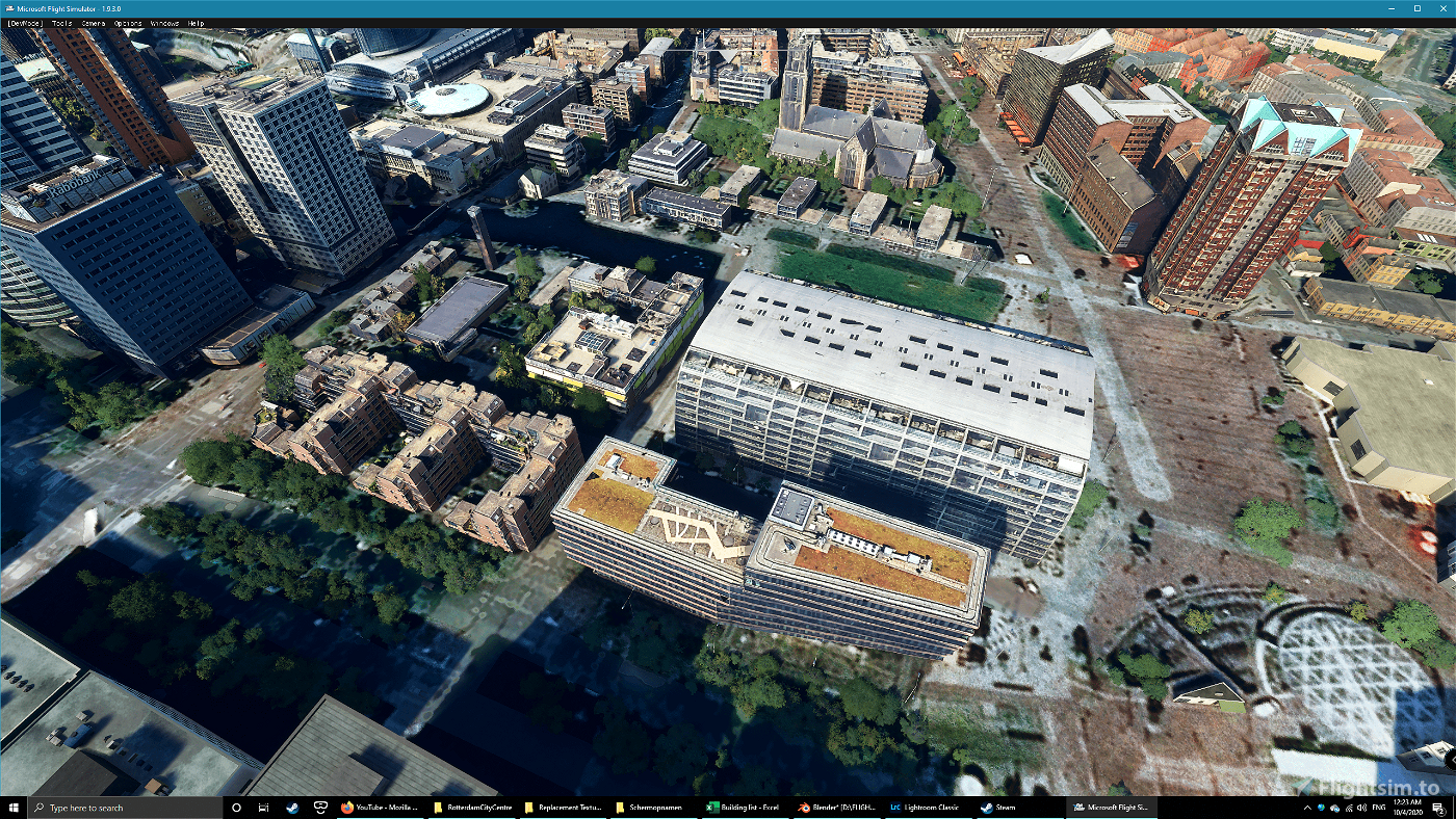


There is still some work to! The Bijenkorf needs some terraforming to get it right, I need to fix some minor fit issues on the Lijnbaan and some areas that are streets in real life show up as grass in the sim. All listed buildings come in the form of a city block, so adjacent buildings are included as well but not listed (I have no idea what they are called anyway;). I had some hope I could copy the entire city with Google Earth decoder, but it turned out to be a blue toned mess, so everything has to be done by hand unfortunately.
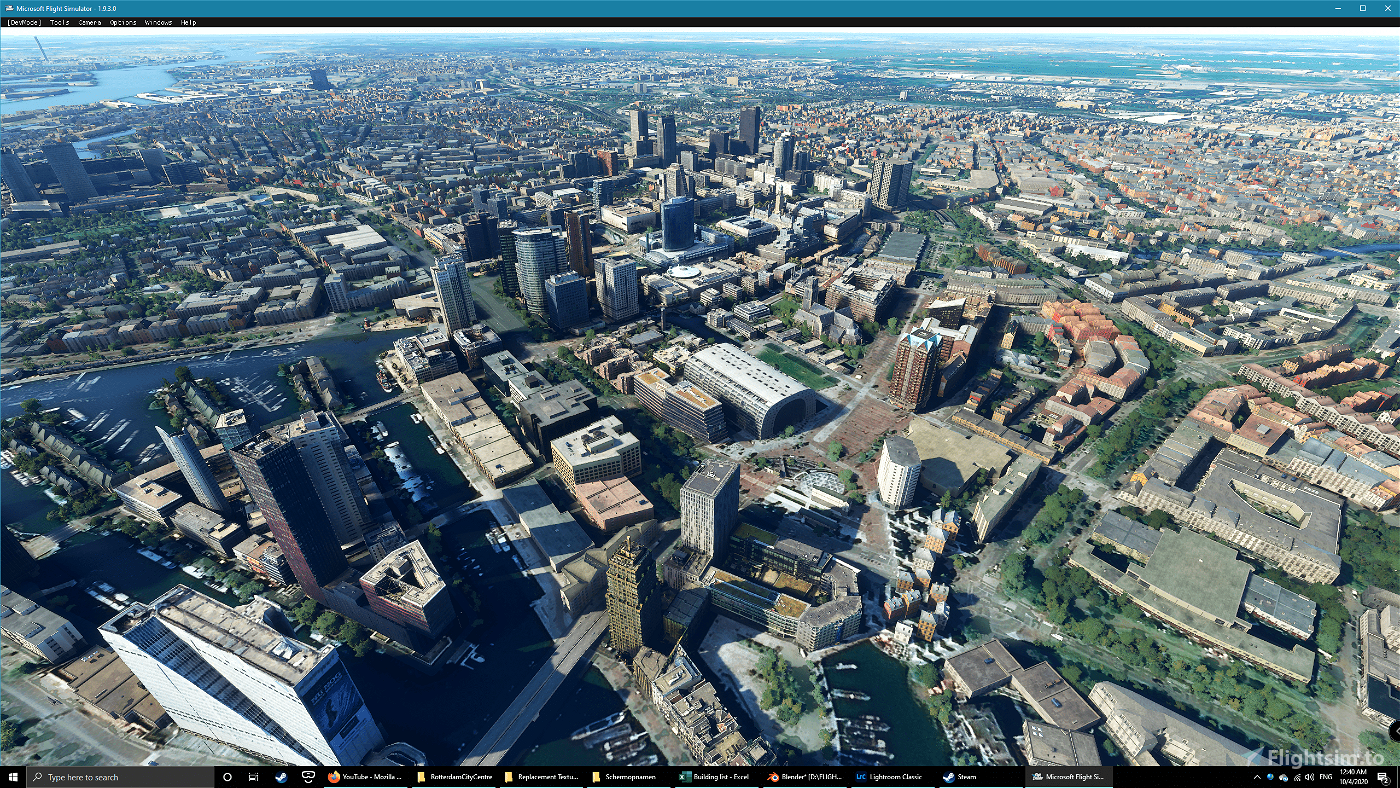
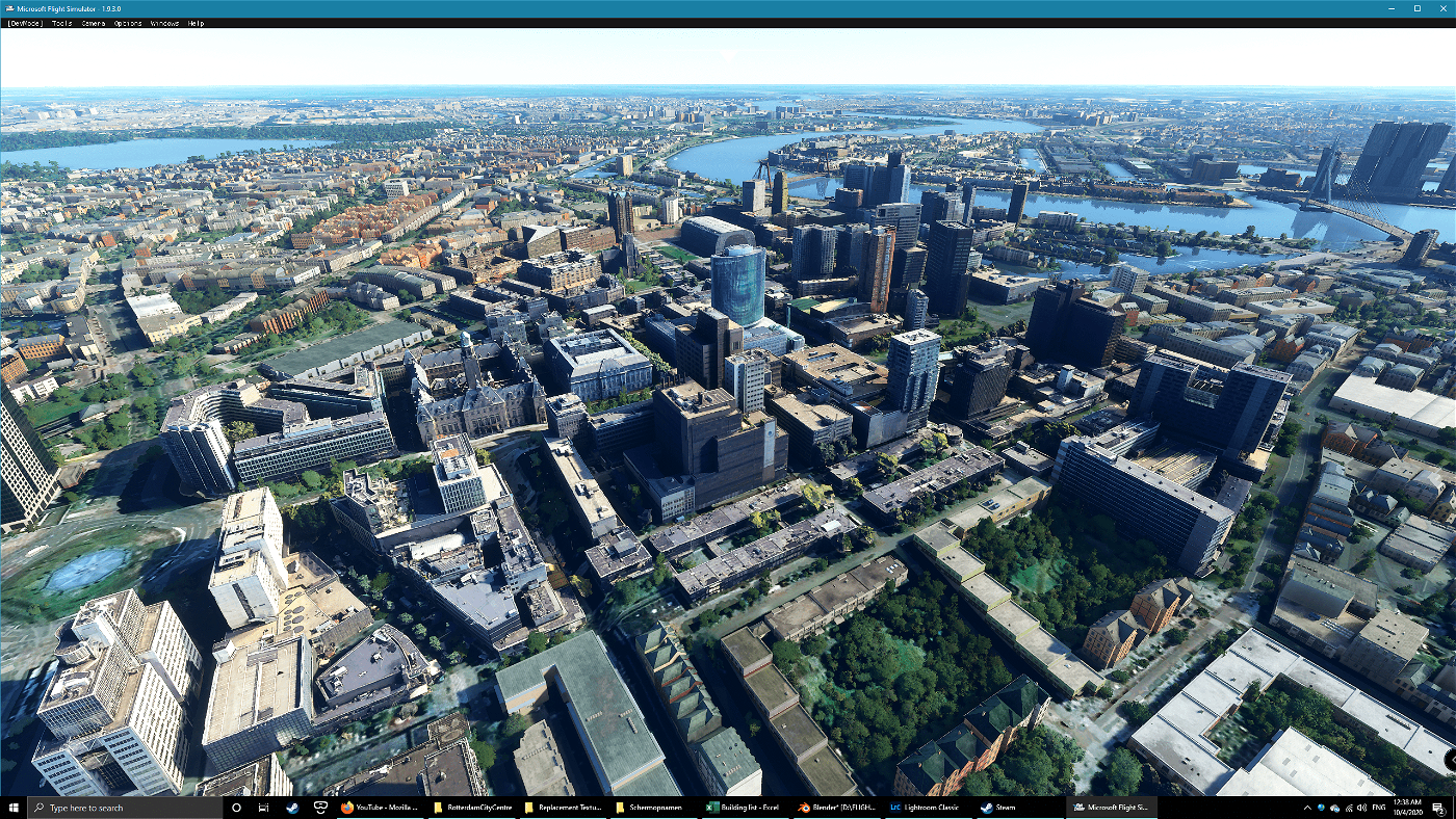
The following is included in this package, all as separate items:
- Binnenwegplein;
- Markthal: a newer version without the blue tone;
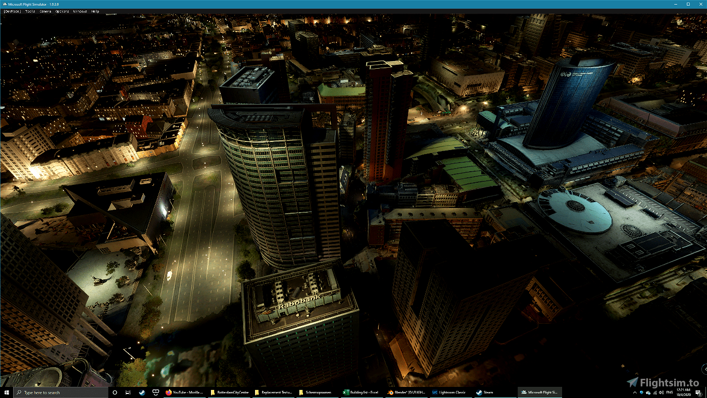
- Rabobank;
- Unilever;
- Donner;
- Bijenkorf;
- Stadhuis;
- Hilton hotel;
- Hudsons Bay (former V&D).
Work will continue on the rest of the city now, taking each "deelgemeente / stadsdeel" at a time and only with separate buildings, after that I might fill in the blanks left in the city centre (or actually do some flying).
File credits
This free creation contains content from Google Maps or Google Earth. In accordance with Google Terms of Services and especially point 2.2 of Google Maps/Google Earth Additional Terms of Service, this creation is based on « fair use » or « fair dealing » of the data provided by google throught its services. No commercial use or any gain is or will ever be made by the author of this creation, who doesn’t own anything regarding google assets but a simple user Licence. According to the following document https://www.google.com/intl/en-GB/permissions/geoguidelines/, the author is freely sharing a creative application of Google Maps or Google Earth. The author will not recieve any form of retribution for sharing his work, even general donations from users of file hosting web services under the form of « rewards » or « tips ». If this content would be found somewhere where it is provided in exchange of money or any kind of retribution, I wouldn’t be with the consent of the author who will stick to strict free content creation diffusion.
Part of this content including 3d data and textures is copyrighted by
Imagery ©2020 Google, Imagery ©2020 CNES/ Airbus, Maxar Technologies,
USDA Farm Service Agency, Map data ©2020 Google.

 MrResetti


4 years ago
MrResetti
4 years ago
PHMAC
4 years ago
Flyingdutchie