
Yet another airfield being made on request. As I'm unable to find the documents and charts related to this airport, no instrument procedure is implemented, maybe it is really VFR only IRL.
* Please REMOVE the current installation before each updates, as there may be BREAKING CHANGES to file structure *
See here if there is any conflict between Navigraph Navdata with 3rd party airports:
https://forum.navigraph.com/t/faq-scenery-file-re-organisation-initialization/4035
You may also have interest on these Indonesian airports which are released as separate packages:
--
Welcome to subscribe my channels for MSFS live game-play:
https://www.youtube.com/channel/UC21efZOlIujoYpzzCGoiYfQ
https://www.twitch.tv/kychungdotcom

 kychungdotcom
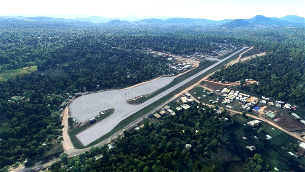


perhaps this will help you
https://skyvector.com/airport/WIJB/Muara-Bungo-Airport
2 years ago
no he needs proper jeppensen chaarts, not just mere ILS and VOR frequencies. Indonesia govt doesnt publish it for general public. only for companies.
1 years ago
CapSYDNEY
fitra
3 years ago
3 years ago
kychungdotcom
flyboysing
3 years ago
mizanasri
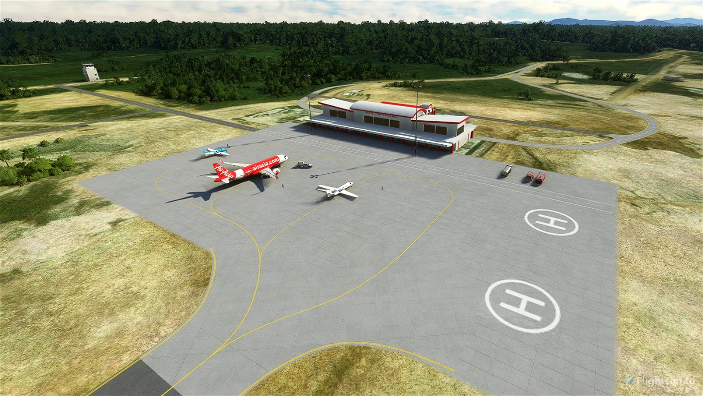
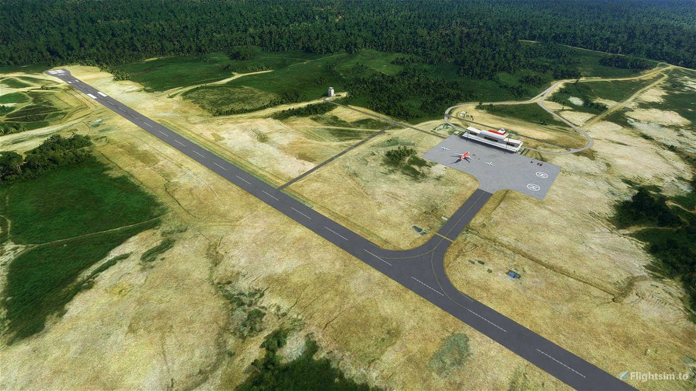
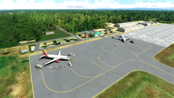
Name: MUARA BUNGO , MUARA BUNGO, Indonesia
Coordinates: 01°32'36.0"S 102°10'43.0"E
Elevation: 195 ft (59 m)
Magnetic variation: 0°
IFR Capability: No
Runway: 13/31 5906ft (1800m)
Comms: VHF MUARA BUNGO, INF, 118.900 MHz
3 years ago
3 years ago
kychungdotcom
CaptVirtual