
PSA 22 Feb '23: At some time in the last six months an MSFS update removed the airfield which ends Leg 1, so this bush trip no longer works.
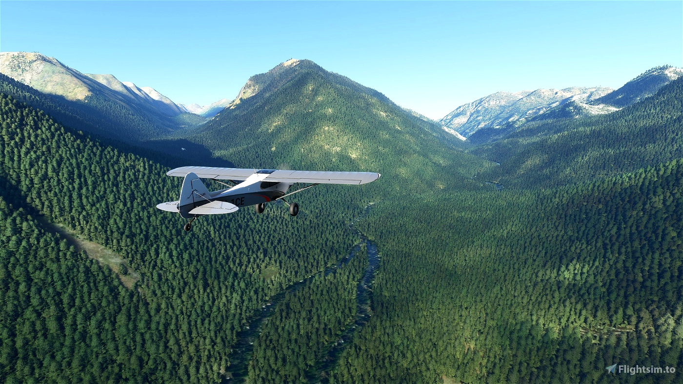
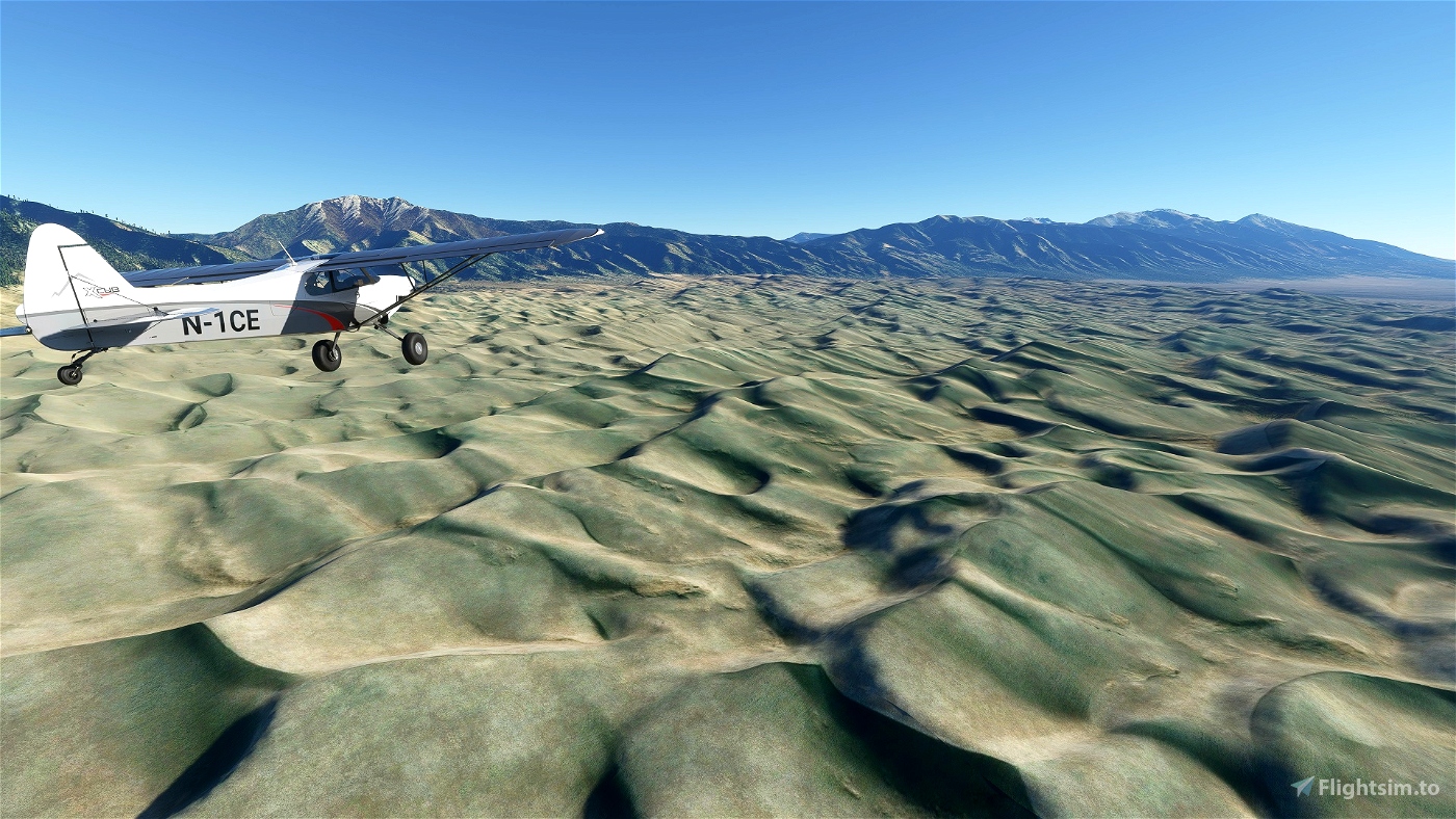
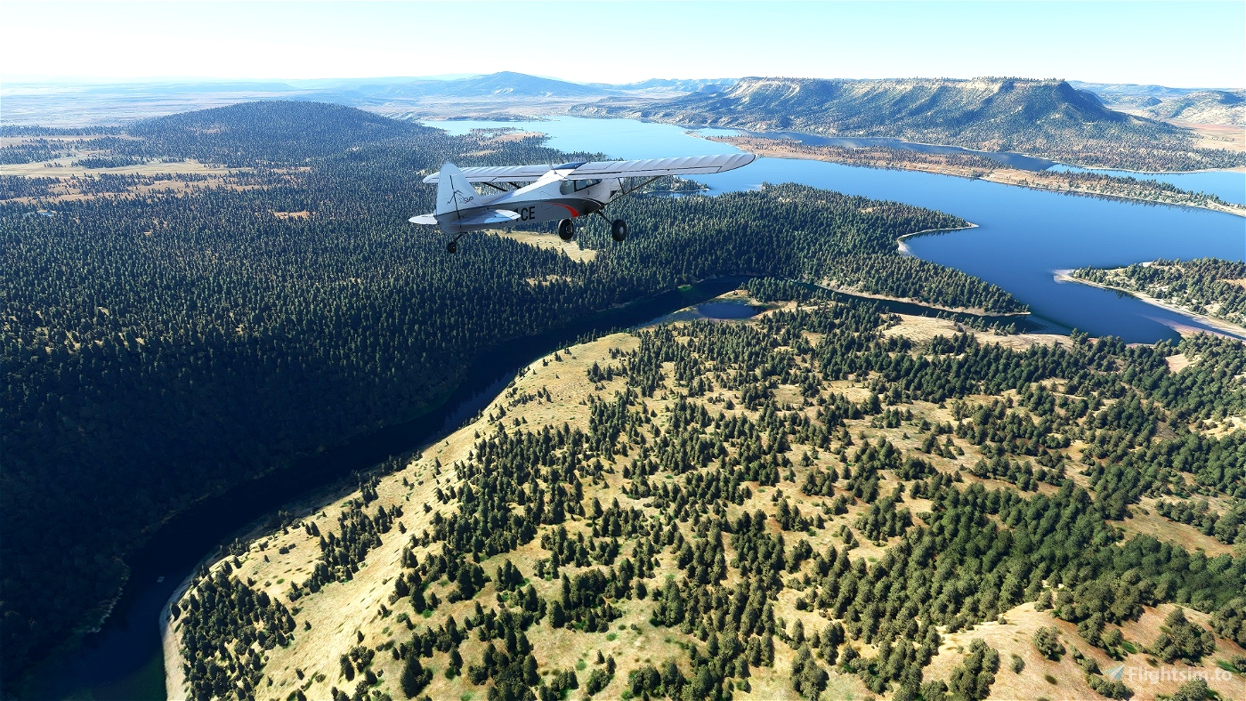
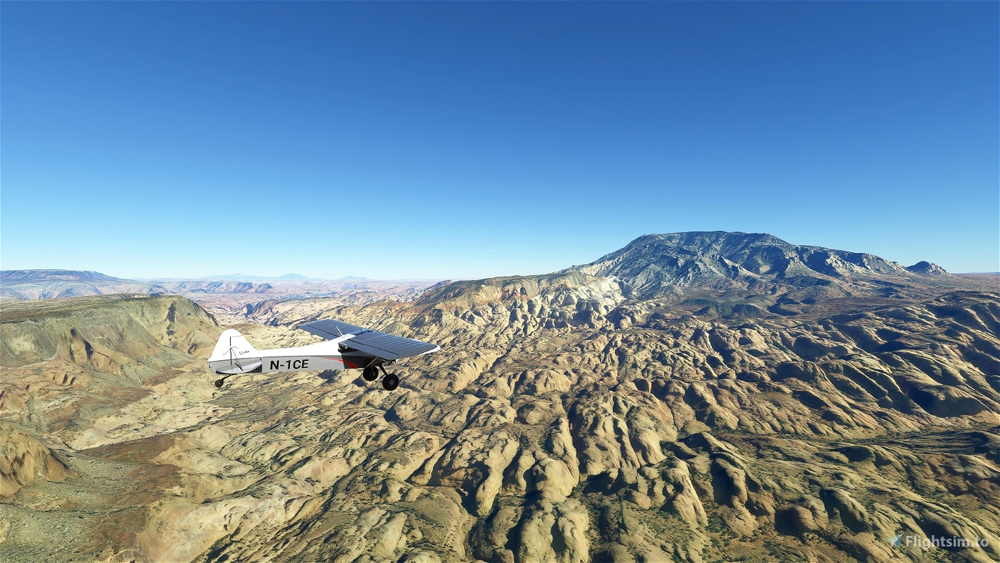
This bush trip is a 4-State, 27-leg, 1262-mile journey through the U.S. Southwest. The emphasis is on navigation and sightseeing, with a bit of pop culture and history thrown in. There are some mild challenges to do with elevation changes, or following a specific route, and these are folded organically into the trip. Though it's a bush trip, there's not much in the way of super-challenging landings, though 90% of the runways are grass strips.
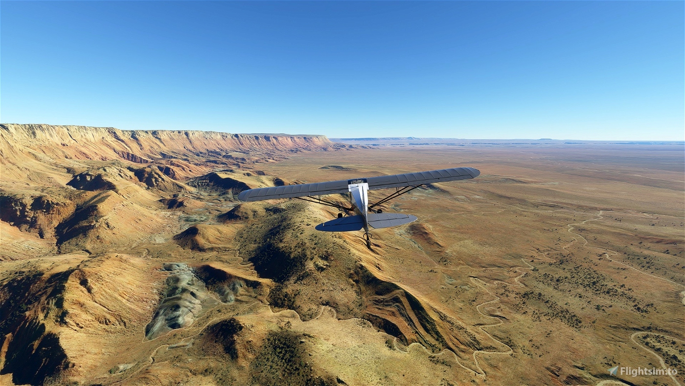
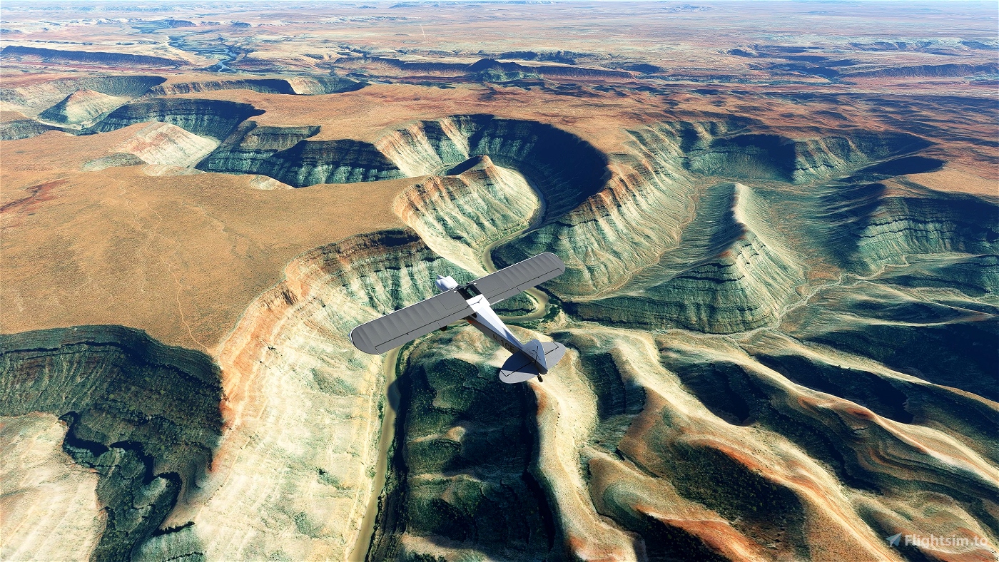
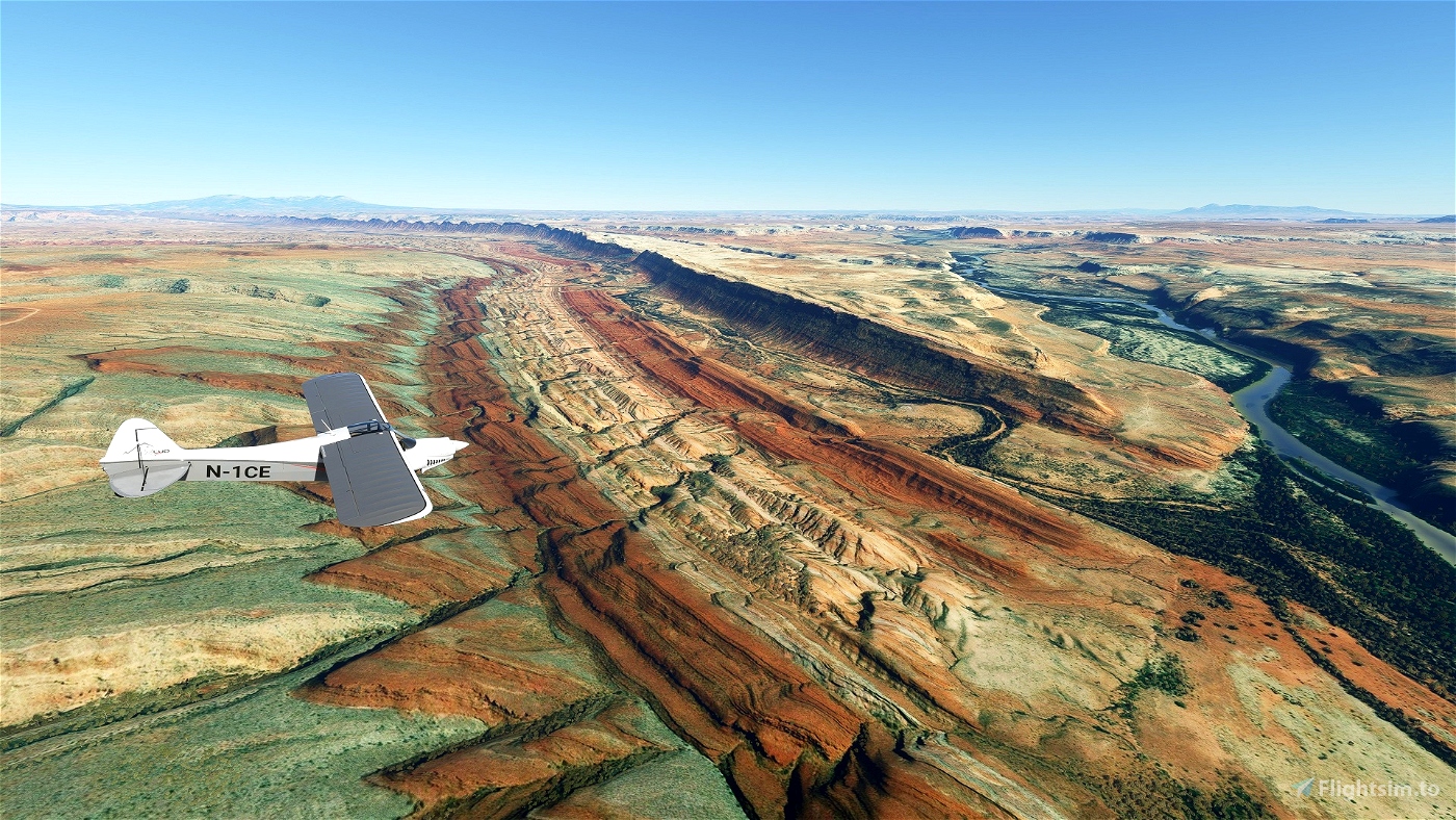
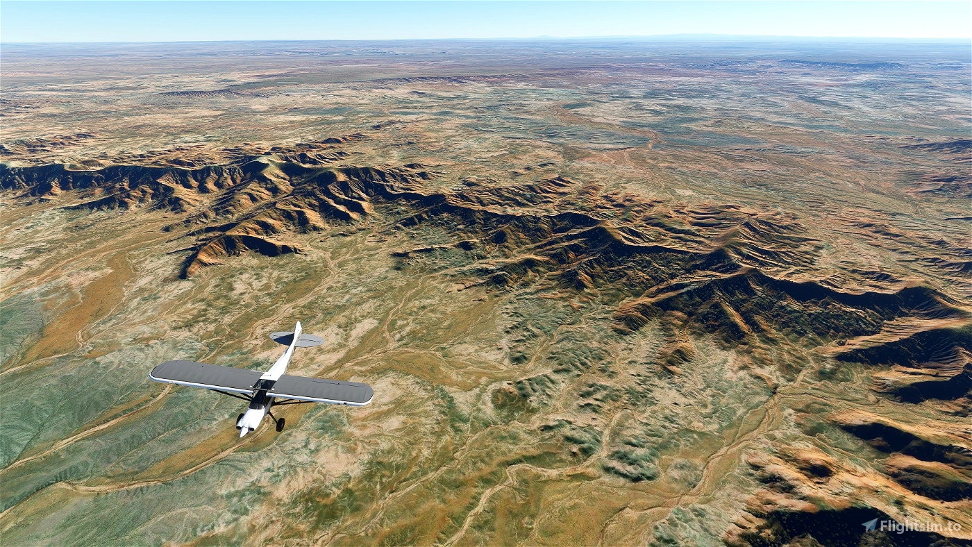
It hits a lot of the big sights in the Southwest - Zion, Bryce, Shiprock, Mesa Verde, the Painted Desert, the Grand Canyon etc - and takes you through some striking landscape changes, from desert to canyonlands to high mesa to forested mountains to volcanic fields and back. And if you want to find out who does the best cheeseburger in the Rockies, this trip has you covered.
The default version of the trip can be done in the XCub, if you like a plane with GPS. I've also included a version which can be done in the Savage Carbon, if you want to get away from the tyranny of the magenta line. Note that you will need to install the Savage Carbon separately to do this trip; it is not included in these files.
Installation
Either unzip both files to your Community folder, or:
Unzip swusa-bush-trip to your Community folder if you only want the XCub experience
Unzip swusa-sc-bush-trip to your Community folder if you only want the Savage Carbon experience. NB you will need to download and install the plane separately, see link below.
Mods to enhance the experience:
Essential
Mappamundi's Scenery Glitch Fix - https://flightsim.to/file/5167/scenery-glitch-fixes-for-update-1-12-13-0 - this removes many ugly giant spikes from the landscape. I guess Asobo will eventually fix these but in the meantime this is a wonderful fix.
Savage Carbon - STOL Realism Mod - https://flightsim.to/file/3723/savage-carbon-stol-realism-mod - if you want to do the Savage Carbon trip.
Non-essential:
Scenery
Zion - https://flightsim.to/file/2028/zion-canyon-national-park-utah by Jeppeson2001
Bryce - https://flightsim.to/file/1781/bryce-canyon-national-park-utah by Jeppeson2001
Monument Valley - https://flightsim.to/file/1836/monument-valley-arizona-utah-border-work-in-progress by Jeppeson2001
Very Large Array - https://flightsim.to/file/4659/vla-very-large-array-radiotelescope by longastrino
Airports
Navajo Mountain Airport - https://flightsim.to/file/2161/04ut-navajo-mountain-airport by bagolu
Flagstaff Pulliam - https://flightsim.to/file/746/flagstaff-pulliam-airport-kflg by JustOkayPilot
Of the above, I'd consider Bryce and the Very Large Array very close to essential. Because the scenery files can cause long loading times, you should only activate them for the leg they are needed in. These legs are:
Leg 2 - Zion
Leg 4 - Bryce
Leg 7 - Monument Valley
Leg 20 - Very Large Array
Credits
A huge amount of credit goes to f99mlu for his Bush Mission Generator at https://flightsim.to/file/3681/bushmissiongen. I've created bush trips manually before, so I really appreciate what an incredible tool this is, and the massive time-saving impact it has had.
I'd also like to credit Alexander Barthel for his LittleNavMap - http://albar965.github.io/littlenavmap.html, which was invaluable for flight planning the trip.
Thanks to GotGravel for permission to create a bush trip around the Savage Carbon. The trip hopefully holds up equally well whether you're using GPS or relying on navigational instructions.
Finally, a lot of the airports in MSFS are obsolete or have been closed down in real life. I'm indebted to Paul Freeman and his website, Abandoned and Little-Known Airfields - http://www.airfields-freeman.com/index.htm, which covers all 50 states and provided a wealth of interesting background reading; and for giving permission to use a photo of his. I wish I could have used far more photos. Check out the website if you're interested in that kind of thing at all.
Most images used are creative commons-licensed. There's a full list of image and source material credits in the Credits text file included, done by Leg, if you're curious about anything in the trip.


5 months ago
SafetyThird
Leg 1 done but no trigger.
Where does the plane have to be to get this trigger?
I've been all over the runway with no luck and no way to continue the mission...
1 years ago
Lund - see reply to Diniz.
1 years ago
Chopper
LundFisherman
I cannot end the first leg anywhere on the airfield. Where is the trigger. How can I proceed to the next leg without being able to find the first leg end trigger?
1 years ago
ctimbermont
@Chopper, first of all, congrats! Seems to be a work very well done! However, i'm having a problem on the very first leg. After USR08 the GPS / flight plan give me a waypoint UT27, heading 026º and 230 nm north of what is supposed to be the first stop of the journey. I have tried to delete the waypoint, ignore it, even flying there and coming back but, after landing on the first stop, nothing happens. I must say that i have changed the .flt file to be able to use the C172 instead of the XCub. Not sure if that's messing the whole thing or maybe it's just not compatible with MSFS's lastest version but, even with the original file the problem persists... do you have any idea? I really would like to finish the trip. Your navlog details are great! Thanks!
2 years ago
I have the same persisting problem. Nothing happens after landing the first leg. Anybody any idea?
1 years ago
ctimbermont
DinizJr
Nice, thanks!
2 years ago
fStopper
I'm about half-way through the bush trip. This is SO well-done! As luck would have it, my wife and I hiked Bryce Canyon, Cascade Falls, and Valley of Fire about 10 days before I found this bush trip. It was great flying over the roads and hikes that we had just experienced. The included images and historical facts have been priceless. This exceeds the built-in bush trips for me. Can't wait to finish it!
3 years ago
Thanks for the kind words, and I’m glad you’re enjoying it! It’s actually loosely based on a road trip I did myself a few years back, and it was a lot of fun for me too to revisit those places.
3 years ago
Chopper
glhillman
3 years ago
3 years ago
Chopper
starwolf
3 years ago
3 years ago
Chopper
storm92jk
Thank you very much for your wonderful job!
3 years ago
3 years ago
Chopper
mjson
3 years ago
3 years ago
Chopper
westhest6
3 years ago
3 years ago
Chopper
fixento
3 years ago
3 years ago
Chopper
StefanM
3 years ago
3 years ago
Chopper
BostonJeremy77
I took the liberty to mod your files a bit to take the trip in the new third part WYMF-5 (payware). It's not really a bush plane, but I was getting a bit bored with the x-cub.
Also a changed the weather in the FLT file to
[Weather]
UseLiveWeather=True
WeatherCanBeLive=True
In that way you can freely set time and weather. For the first trip I chose a 6.15 am departure just before sunrise and flew the route in a wonderful light towards the rising sun. Sunrises and sunsets really are beautiful in this sim.
It would really enhance the bush trips if it was possible to set the different legs at different times of day and in changing weather.
Anyway, thank you for your great work and effort.
3 years ago
3 years ago
Chopper
horstunger
3 years ago
3 years ago
Chopper
FlightBoy