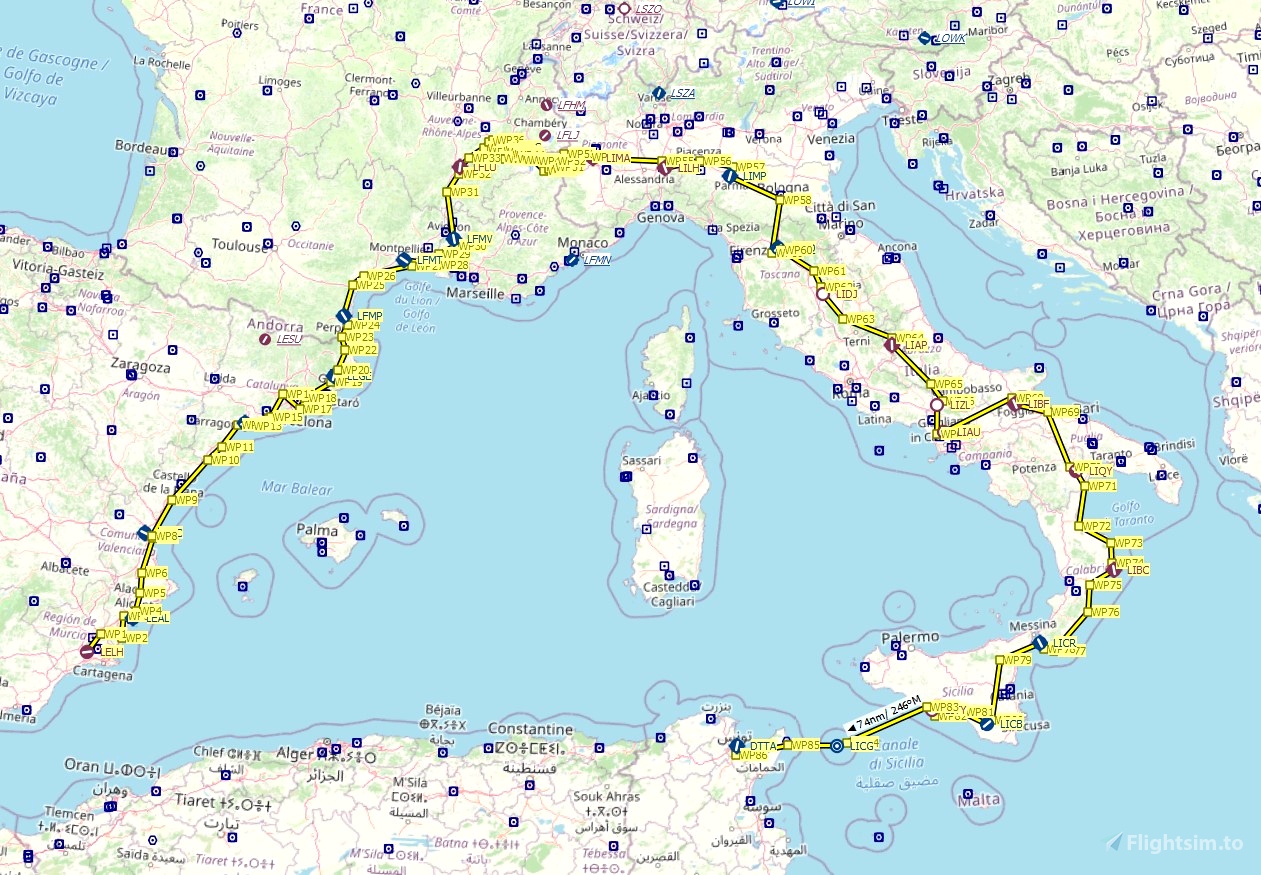
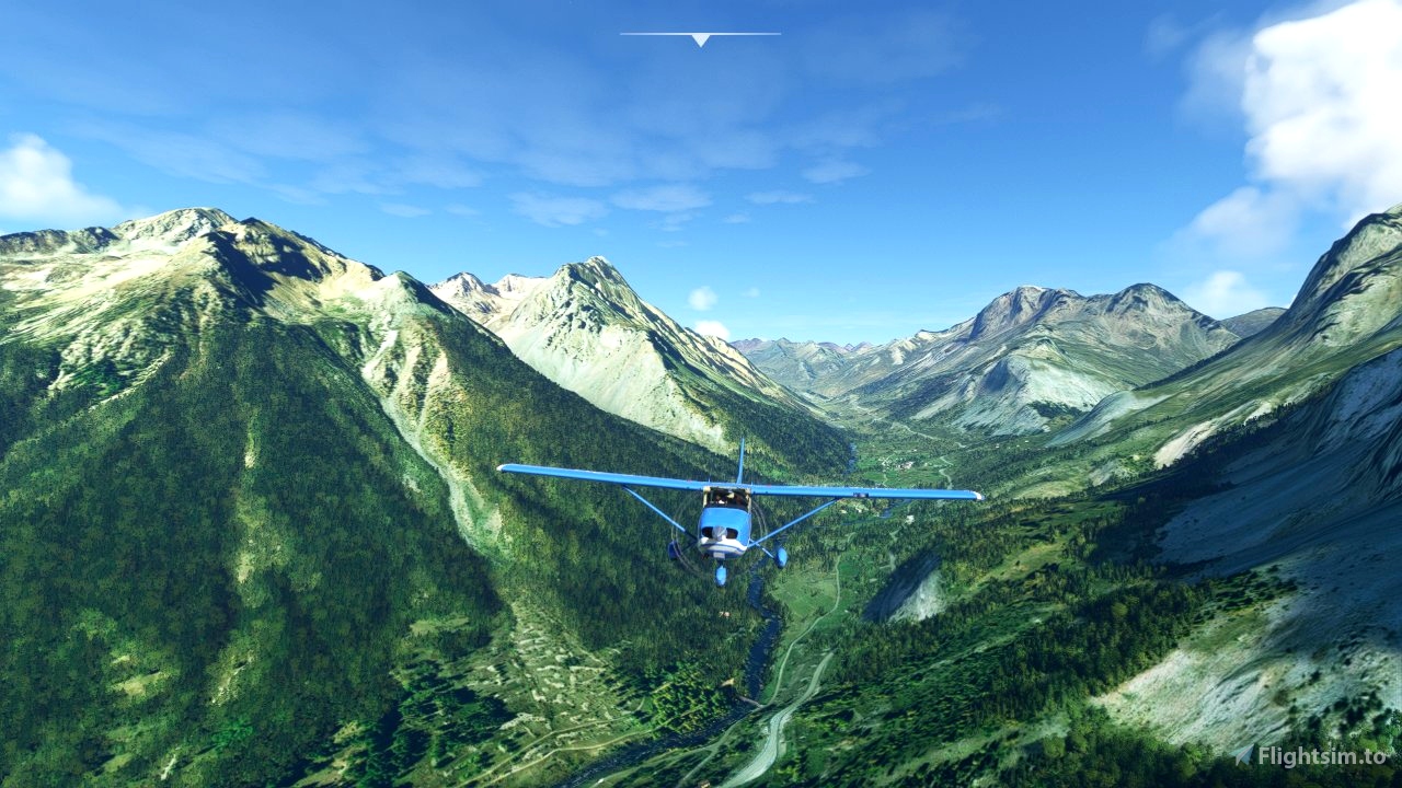

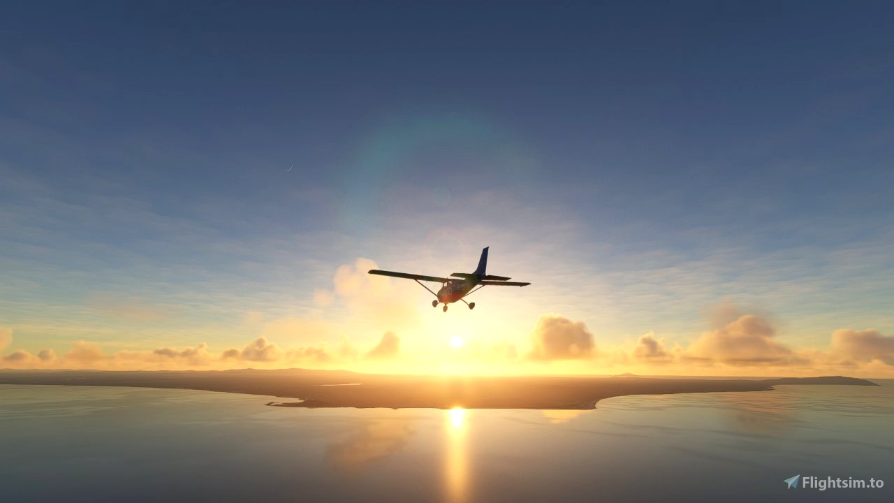
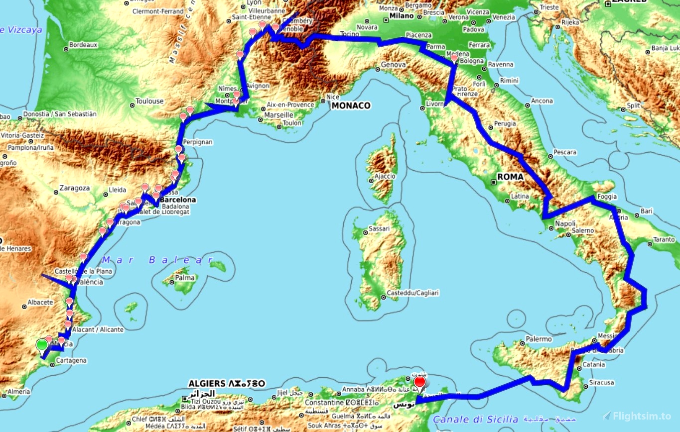
This trip follows the route Hannibal Barca took from the South of Iberia (Spain) over the French and Italian Alps in order to fight the Romans. He first led his army of 90000 soldiers and 37 war elephants cross the Pyrenees into the south of Gaul (France) to defeat the Gaul and next crossed the French and Italian Alps to reach to Po-Valley. There he met the Romans again in the battle of Trebia. With the intention to enslave the Romans, Hannibal travelled through Italy, crossing the Apennine Mountains when needed. At several locations the Roman and Carthaginian armies met and fought their battles.
The Second Punic War lasted from 219 BC till 202 BC and was concluded with the defeat of Hannibal in the battle of Zama. Hannibal died in Turkey where he is also buried.
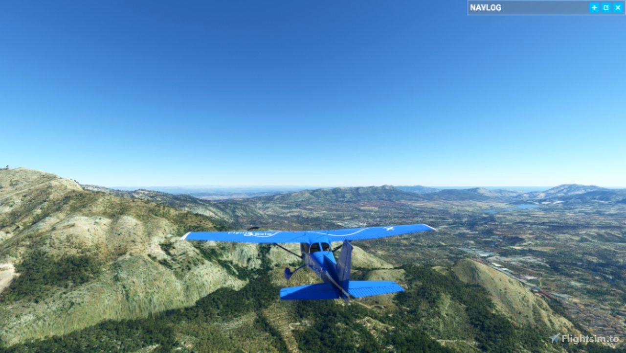
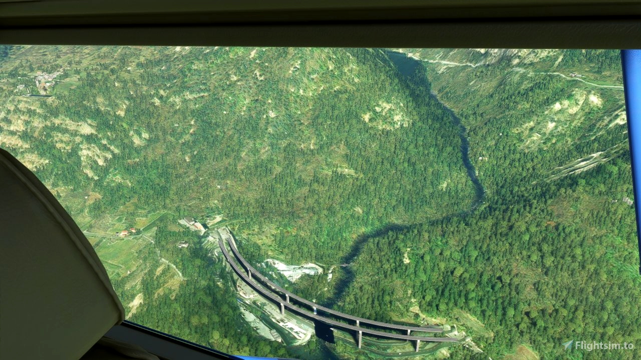
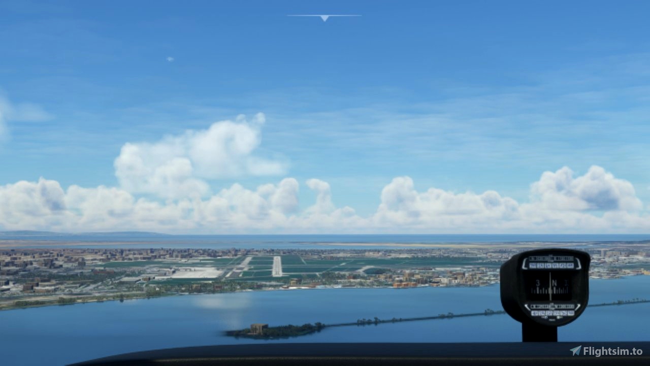
This trip is VOR navigation driven. You have to fly the intersection of VOR radials to find the waypoints. The trip goes through mountainous areas. As VOR is known to operate worse in mountainous areas a VFR description of the route is provided. Of course, you can climb out of the valleys and fly at 11000 feet and cross the Alps or the Apennine Mountains.
· The Bush Trip is Multi-Lingual, written in US-English and machine translated to the following languages: German, French, Spanish and Portuguese.
· The story of Hannibal is spoken at for the war interesting points.
· You have descriptions of the touristic points you pass. These are not in the NavLog but are spoken after you have passed.
· After landing you have to set the Parking Brake, shut down the Engine, shut down the Navigation and shut down all electricity (think battery).
· When an airport has fuel service you can refuel at the start of a leg.
· Weather is pre-set to few clouds but user changeable.
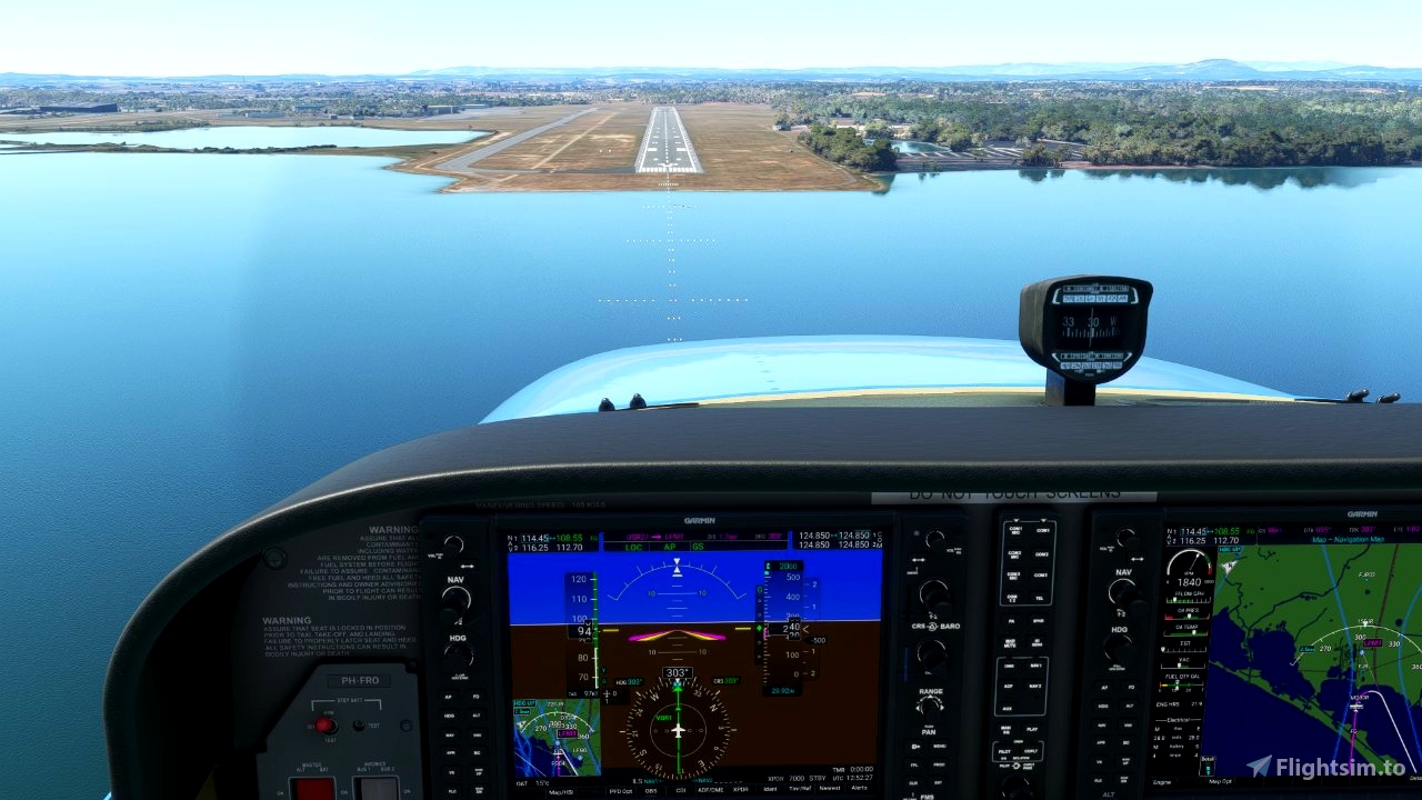
· GPS is available and loaded.
· The Flight Plan is loaded into the navigation system.
· NAVlog and VFR map are available.
The Flight book as added as well as the printed Flight Plan from Little Navmap.
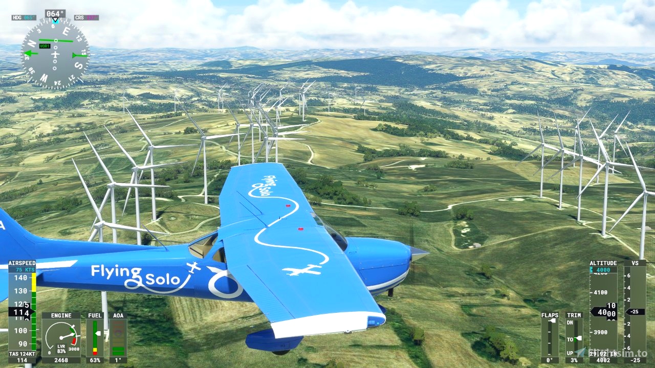
The plane is a Cessna Skyhawk G1000. You can change the plane with the MissionChanger by BuffyGC.
The trip takes 2063 NM in 26 legs.
Happy flying and safe landings.
Thanks to Alexander Barthel for LittleNavmap and to BuffyGC for BushTripInjector and MissionChanger. Without these programs the trip would not have been created. For interested parties the story of Hannibal and his family, the Carthaginians is amply available in the Internet.
There are many scenery enhancements available on Flightsim.to. I have no advice for you what to pick, but I have created a list of add-ons which are on or near the flight path. Thanks to all creators of these add-ons.
Narbonne: Palais des Archevêques and other landmarks by mv46
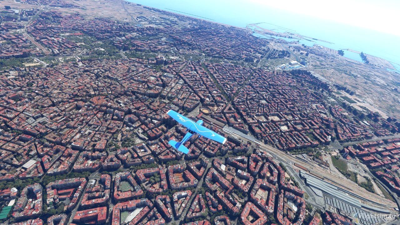
Sagrada Familia Barcelona by legofun1974
Antiguo Aeródromo de Rabasa. Edificios by Vicente Barba
Circuit de Barcelona-Catalunya by DroidG
Grenoble, Rhône-Alpes, France by AdrianL
Aeroporto “Edoardo Agnelli” – Torino Aeritalia (ICAO LIMA) by erasam
Agrigento Airfield - LITY by EddiZ
LIAU Aeroporto di Capua by Fabio
LIMA - Torino-Aeritalia airport (Edoardo Agnelli) by Tatami
Alicante Airport LEAL by hergi1234
Alicante Terminal - LEAL GMaps 3D by andres291
Aviosuperficie Matera by Fabio
Firenze Amerigo Vespucci airport (LIRQ) - Italy by quelcertoleo
LFMT - Montpellier Airport, France by Pilot Experience Sim
LICB Aeroporto di Comiso Pio La Torre by XFlights
LIMP - Parma Airport by MM Simulations

 Frontech


I really enjoy a trip where there is a story behind the journey and Hannibal did not disappoint. I have written short VOR based bush trips so I know the amount of work in creating a trip like this of nearly 2000 nautical miles is huge. The trip works just as well using the G1000's GPS if you are not a fan of the older form of navigation. Great work Frontech!
2 years ago
Thank you for the praise. I hope that this review will encourage other users to download and fly this trip. I had a lot of fun making this and I learned a lot about Hannibal and the Carthagians, fighting the Romans. After some 2000 years they still earn our respect.
Frontech
2 years ago
Frontech
ProfSC
I finished the trip! Loved it. Thank you! A couple of recommendations to other Hannibal fans:
All in all, a wonderful experience. Muchas Gracias!!
2 years ago
Thank you for your praise and your recommendation. A faster plane would indeed increase the performance and shorten the journey. However I have to choose a plane which is generally present in the sim. That limits the number of available planes. But for my next trip I will certainly experiment with this.
I have heard of, but have no experience with BushTalkRadio. I will follow this up and see what the results are.
I expect that SU10 will bring an improvement.
Frontech
2 years ago
Frontech
tculhane
Just a head's up. I fly mainly in VR. It appears the key to completing a leg is to back out of VR and set the brakes in regular mode. It took several rounds of trial and error to figure that out. Thanks again for the wonderful trip!
2 years ago
Hi, I am pleased with this report. I don't have VR so I cannot test it. Others who fly VR can act on your finding. Again thanks.
Frontech
2 years ago
Frontech
tculhane
I finally got it to work. I had to wait about 2 minutes with everything shut down before I got credit for the first leg. I am really enjoying it now. Thanks for all the help. A solid 5 Stars all the way!!
2 years ago
Hi, I am happy that you can fly the trip. That's why I am building these trips, knowledge improvement for me and fun for you.
Frontech
2 years ago
Frontech
tculhane
I never got "Welcome to Alicante". I made sure everything was shut down: mags, throttle, mixture, fuel valve, all four large electrical breakers and the little red standby battery lever and parking brake set. Thanks again.
2 years ago
Hi, I have flown the first leg today. Nothing strange to it. I have closed the leg without any problems and got "Welcom to Alicante. You have flown the first leg.
I get the NEXT button, see the entry in the log, click on CONTINUE to the second leg and see the GPS line in the VFR mapping and the FP in the G1000. When I go back to the MAIN MENU I can see the log entry and after closing the sim, I can see that the save files are present.
I cannot imagine what goes wrong. If BuffyGC states that SU10 cannot be an issue, well I don't know what possibillities are left.
Frontech
2 years ago
Frontech
tculhane
Thanks. I tried that and indeed got a fresh restart for leg 1. However, it's still not registering my arrival at the end of the first leg. I even tried shutting down in several spots at the airport to no avail. It might be an issue with SU10 beta that I am running. Thanks.
2 years ago
I'm running SU10 1.27.13.0, too. And it works as designed and I can finish the leg. I guess, you forget to shutdown a system, or use another aircraft.
2 years ago
BuffyGC
tculhane
I think the problem is that when I initially started the first leg I crashed. I was having problems with my auto pilot. Now when I try to start the first leg I have only the "continue" button rather than the "start from" yellow button. Since it's the first leg I cannot back up one leg to get a fresh "start from" yellow button. Is there an FLT or APPDATA file somewhere I need to delete to get a totally fresh restart? I flew your Rio Grande bush trip and see all the save flight files in APPDATA but none for Hannibal. I have searched for but cannot find a Hannibal FLT file to delete to get a totally fresh restart. Thanks! And I really enjoyed your Rio Grande trip, especially the Big Bend area. Lesson to self: don't crash on the first leg of a bush trip!
2 years ago
When you are using the SU10 beta, just rename the top level folder in your communty-folder:
I.e. rename "frontech-bushtrip-hannibal" to "frontech-bushtrip-hannibal-001" and you have a restart from scratch. Please do this, when the sim is not running.
2 years ago
BuffyGC
tculhane
Hi, I ran the first leg, parked the aircraft, set the brake and shut down everything and it did not register the progress. Cannot continue. I am running the beta version of update 10. Not sure if that's the issue. I really liked the first leg, however. Thanks!
2 years ago
Hi,
I did not test on SU10, but if it goes wrong that would possibly mean that more BT's will break. My first question is did you get the full closing cycle of the leg? Did you get the spoken text " Welcome to Alicante"
And next the FS ending of the leg with the buttons to continue or main menu? If not you missed something in shutting down the plane. The Cessna has an irritating back up battery which switches automatically on. You have to set that off. Little red switch on the left-hand top corner of the dashboard.
Second question. Testing SU10, perhaps SDK mode on?
Thanks for your comment,
Frontech
2 years ago
Frontech
tculhane