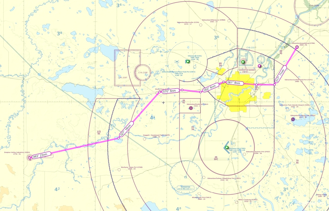
This is a VFR GPS flightplan route from Drayton Valley Alberta CER3 to Edmonton Josephburg CFB6. The route takes you up and across the city of Edmonton using the published VFR route.
From Drayton to the Genesee VRP, up to Stony Plain Beach Corner VRP, across to Spruce Grove VRP, to Acheson VRP, up to Cement Plant VRP on the west end of Edmonton, across to Bridges (Beverly Bridges) VRP, to Bremner Cloverleaf VRP, and then up to Josephburg.
Flight distance is about 79 nm
Reverse route is included.
Just place the .pln files into your "localstate" folder (a few back from community) then you can load the flight from the bottom of the main map window in the sim.
Scenery for Drayton and Josephburg is available on my webpage: genaiss.com/other-interests
Enjoy!
Doug (deltasim59er)

 deltasim59er

