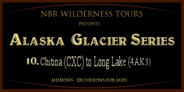
Mission 10: Chitina (CXC) to Long Lake (4AK3)
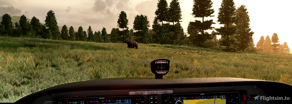
This is the tenth leg of a 16 leg exploration trip into “rugged” Alaska. In this trip we are departing Chitina (Chitina Airport (CXC) and heading into more glacier areas, this time in the McCarthy area before reaching our destination of Long Lake (4AK3)
The Route/Itinerary:
Short List: CXC-PAMX*-0AK8*-AK31*-4AK3* (*Freeware Add-on scenery required as per below)
Departure: Merle K Airport (Mudhole) Smith Airport (PAKA)
Stop at MCCarthy Airport (PAMX) *
Optional stops at Fireweed airport (0AK8)* and/or Swift Creek Airfield (AK31)*
Destination: Long Lake Airstrip (4AK3)* Total Distance: 82 nm.
* Scenery Requirements: Included in this DL Package as they were omitted from MSFS
1. 12 Airports for Southern Alaska v1.0 (PAMX*-0AK8*-AK31*-4AK3*) (by DADGAMETIME) (This scenery is included in this DL Package)
2. Alaska water height fix-Anchorage and Southern National Parks (by Baddweapon)
DL LINK: https://flightsim.to/file/1023/alaska-water-height-fix-anchorage-and-southern-national-parks
Aircraft: Asobo C172 G1000 or Asobo C172 Classic
Mission Installation:
Extract the zip file and move/place the extracted mission folder(s) into the community folder. Start/restart the sim and this mission will be found via the Home Page > Activities > Bush
Trips > CHITINA TO LONG LAKE and/or CHITINA TO LONG LAKE
Alaska (C172 G1000) Alaska (172 Classic)
To uninstall simply remove the mission folder(s) from your community folder.
Detailed flight itinerary included in the file download. (But a word of warning, make your climb early as the C172 doesn't have the guts of the XCub, Carbon or Grravel! and you don't want to stall out trying to rapidly climb trying to get over a steep crest of a mountain!)
-----------------------------------------------------------------------------------------------------------------------------
NOTE: For those of you who don't prefer running MSFS "missions" per say, I have included the flight plan (both LNM and MSFS version) on which this bush trip is based. Additionally for the more advanced flyer who might want to try to manually navigate this trip, I have also included a sky vector static map link of the route. Try your hand at dead reckoning methods and marking land marks to ascertain your position. (But make sure you grab your watch or E6B just in case as it is easy to get lost in these parts.
-----------------------------------------------------------------------------------------------------------------------------
Credits:
Again a sincere thanks to BuffyGC for the BushTripInjector toolkit! - https://flightsim.to/file/4131/bushtripinjector
and to scenery designers: DADGAMETIME and Baddweapon for their work that makes this excursion possible in MSFS.
Hope all enjoy this MSFS expedition exploring some of the more rugged sites in Alaska. See you in the MSFS air!.
Norm Richards
MSFS = NBRICH1
Misty Flying Club: http://www.mistymooringsflyingclub.com/

 nbrich1

