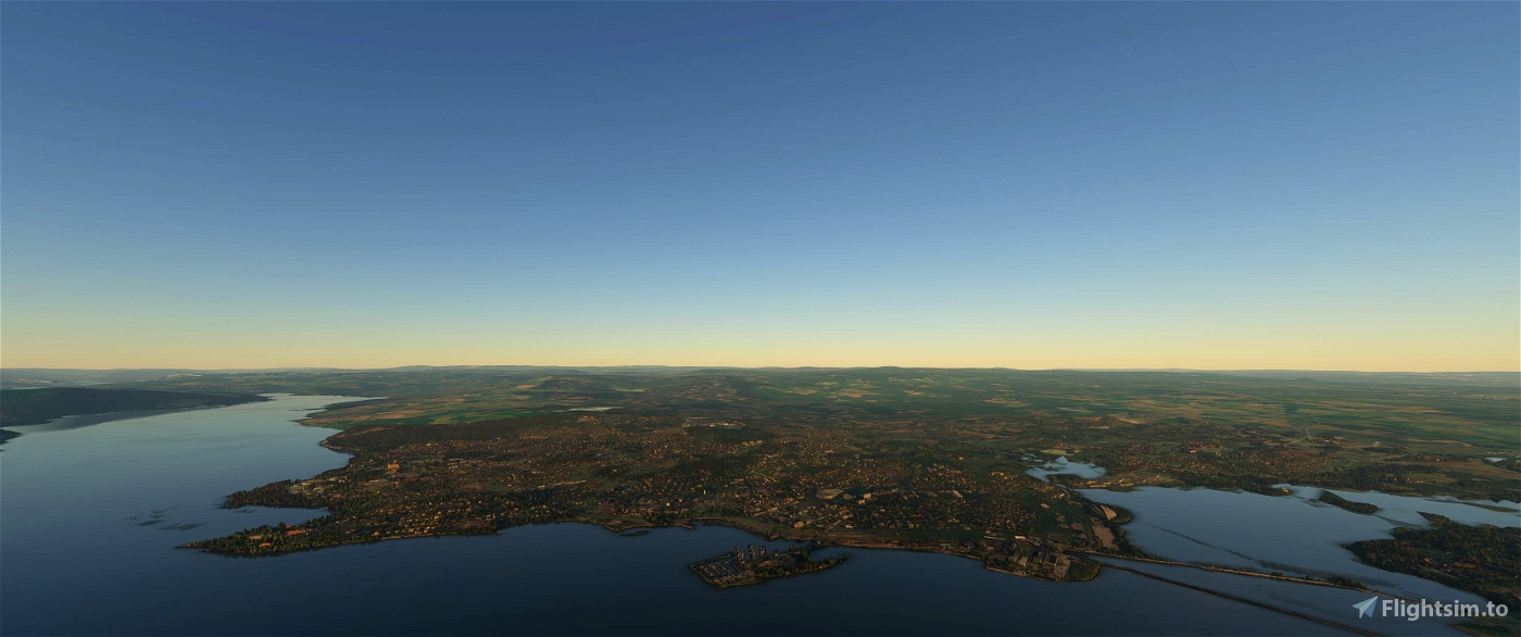
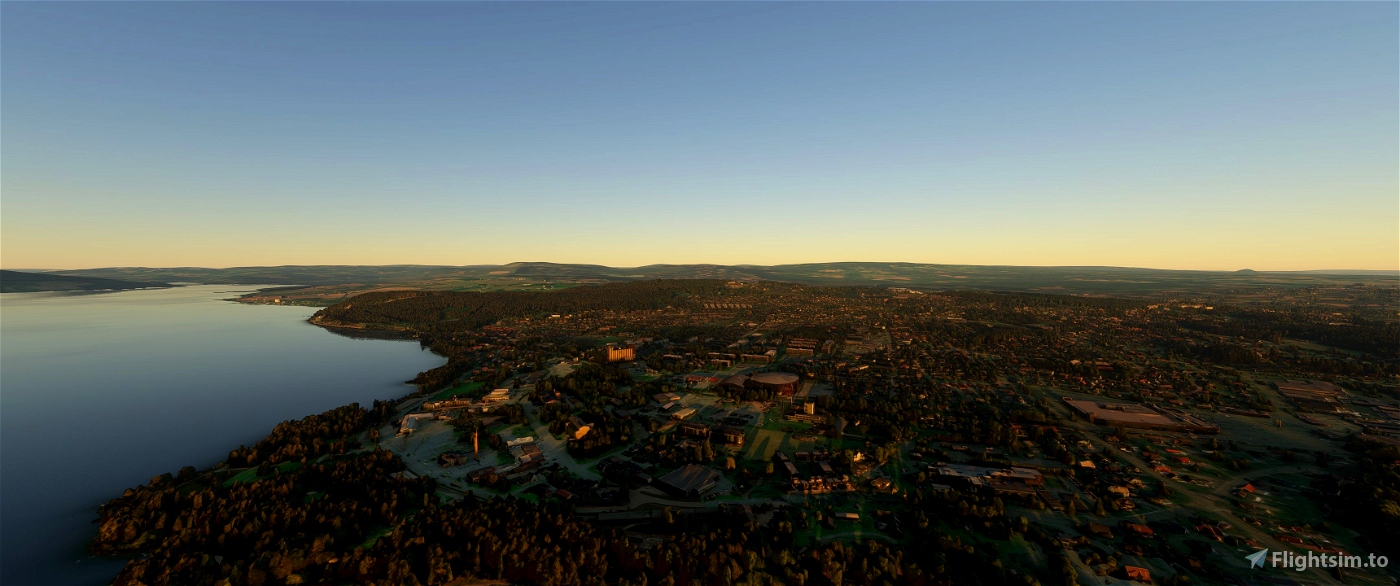
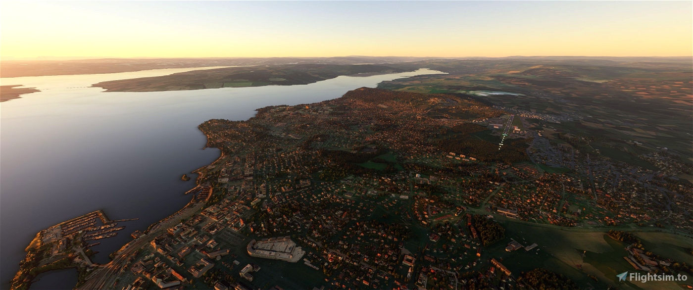
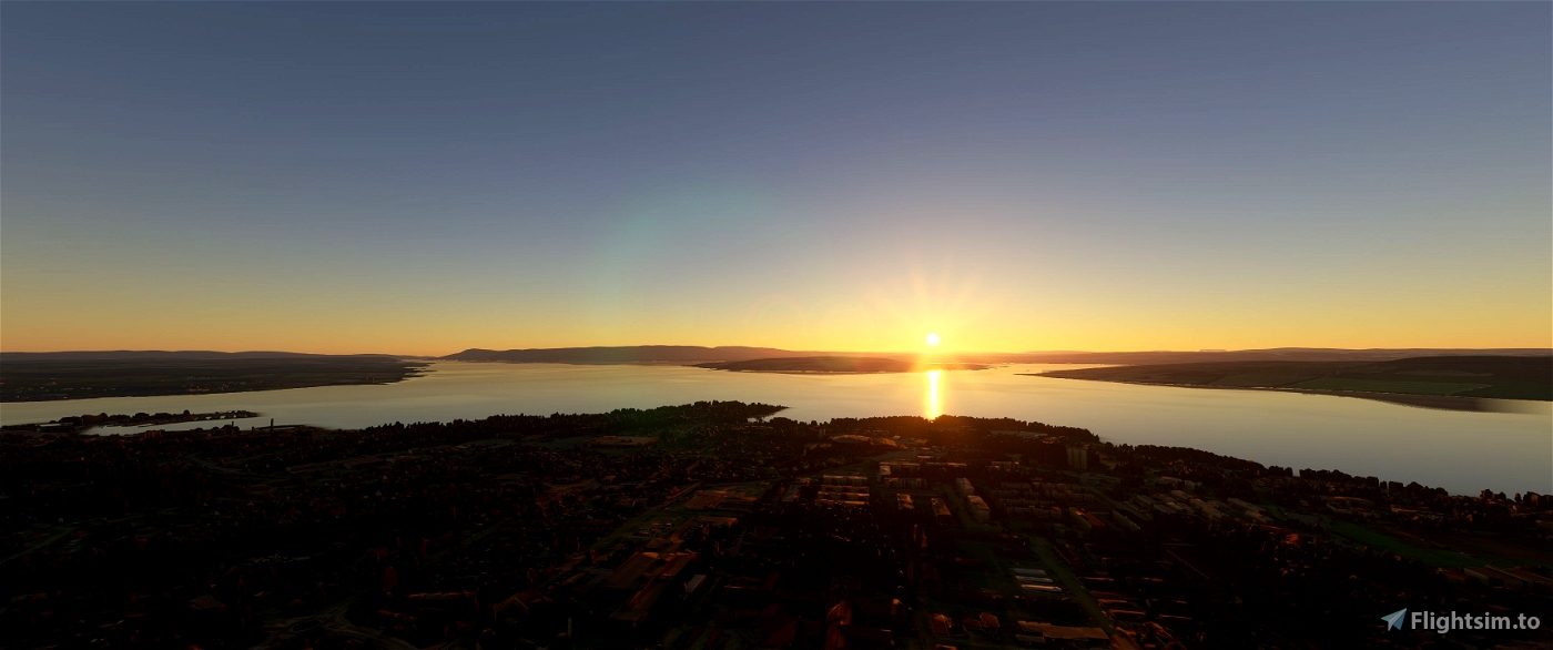
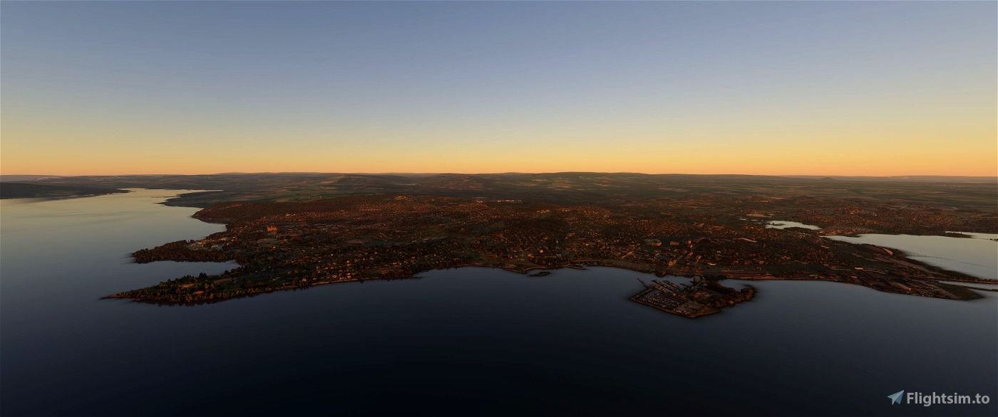
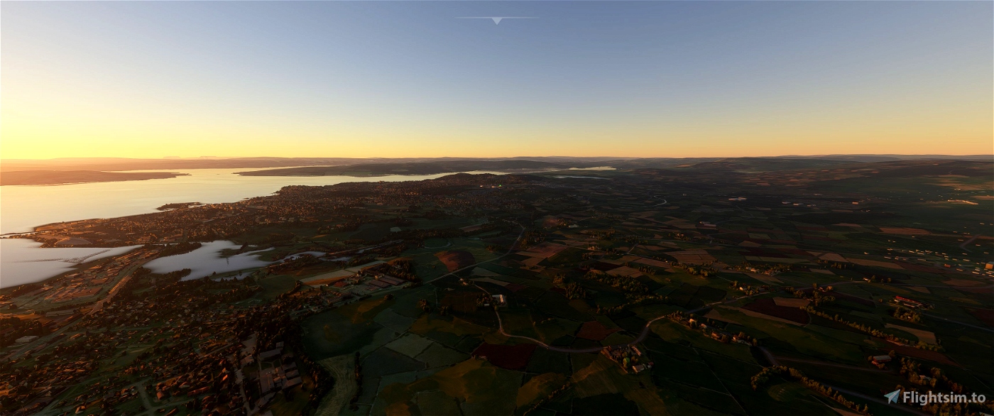
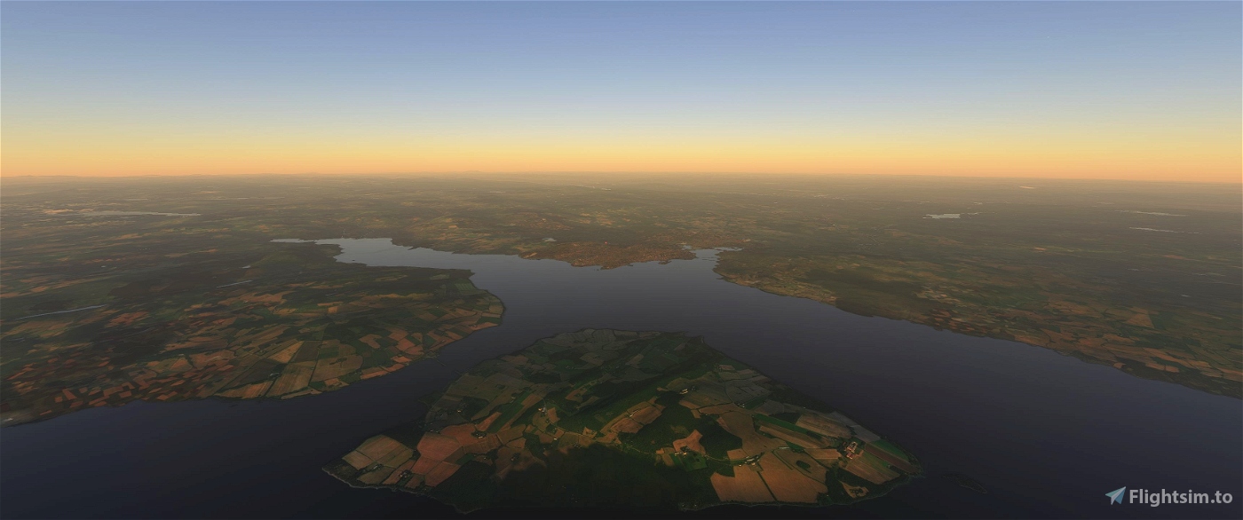
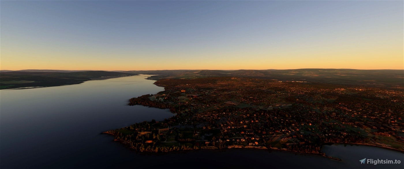
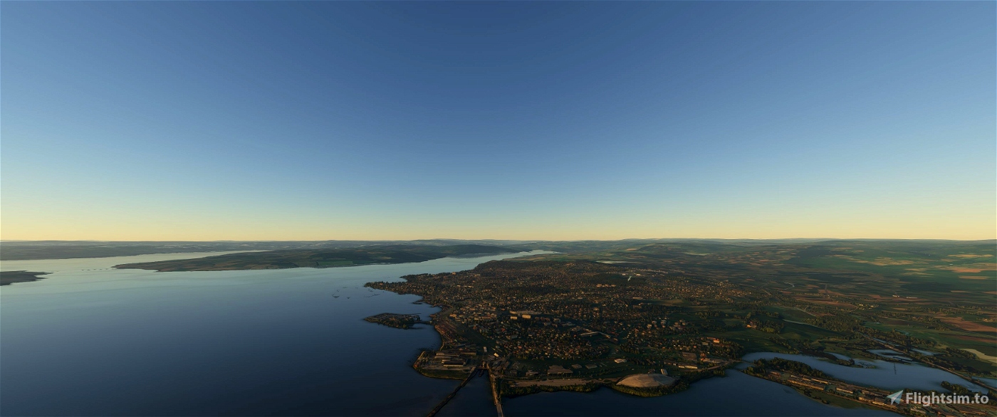
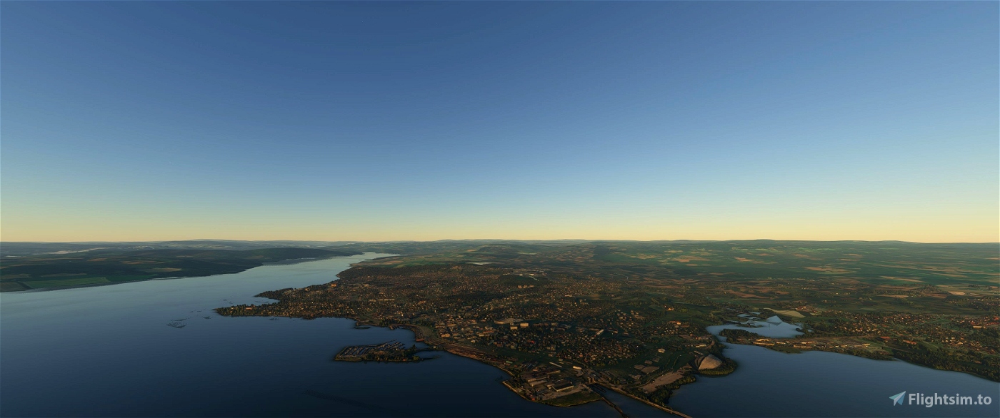
This is a photogrammetry scenery for Microsoft Flight Simulator 2020 that covers the City of Hamar in Norway, and some of the adjacent areas. The coverage area extends just north of ENHA Hamar Airport, as far as Kapp to the North-East and Hjellum to the South-East, and to the south as far as to Tokstad. Please see the included coverage map for more exact coverage.
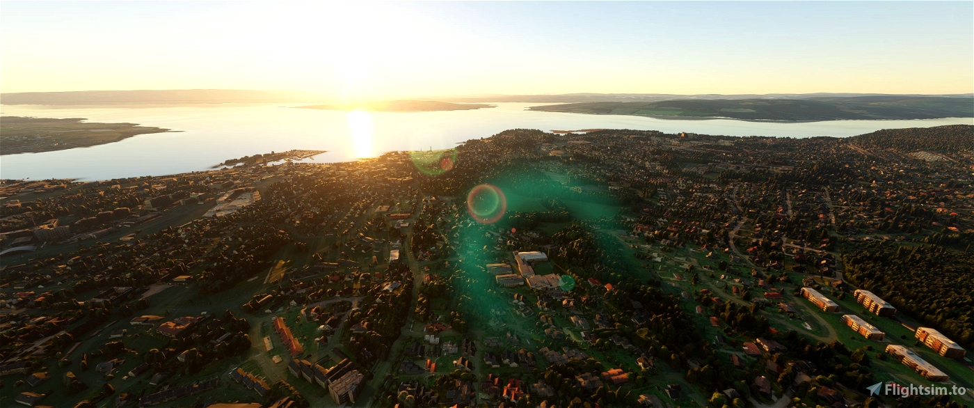
This photogrammetry scenery is based on data from Google, which has been carefully color adjusted to match the default scenery, and the height has been adjusted to blend in as well as possible with the default scenery. It has been optimized to be viewed from a distance, in which case it will show a pretty accurate representation of what you'll see from a real airplane. If you know the area well you should also be able to find most addresses or buildings from "real life", although up-close the details are somewhat rough. This scenery is optimized to be viewed from an airplane, not from up-close. It should have a minimal to moderate impact on your FPS and performance in general, depending on your hardware and system settings. On a system with an AMD Ryzen 3900X CPU, an Nvidia RTX 2070 Super GPU and MSFS and addon-data on fast NVME SSD's, with MSFS Graphic settings on a slightly modified "High" setting, it has negligible to no effect on FPS and performance in general, as long as you don't have too many other photogrammetry sceneries installed. The scenery will be better optimized for performance in a future version.
This scenery does not include ENHA Hamar Airport and excludes that area. It will work fine with both the default ENHA airport and any third party replacement airport.
Installation:
Just Drag & Drop or copy the included directory (cj-scenery-hamar) into your MSFS Community folder.
Known issues and limitations:
- Default roads and some other parts of the default scenery will be visible at certain places, this is because of the way the height of the Google Earth data has been adjusted. I've made my best effort to make it blend in as well as possible with the default scenery data, but default roads will be visible at certain places, and default ground scenery will be visible at some locations. None of this is obvious when viewing the scenery from an airplane.
- Road traffic is limited to where there are default roads, and some erratic road traffic movement might be observed where default roads and Google Earth data intersect.
- The boundaries of the Google Earth data is visible, although I've made an effort to make it blend in as well as possible with the default scenery.
- The resolution of the Google Earth data is very course when viewed up-close, I emphasize that this scenery is meant to be viewed from an airplane.
- The scenery has not yet been optimized for performance, this will be done in a future release (clean up the mesh, optimize the texture resolution and "bake" the texture).
Tools being used to produce this scenery:
- MSFS Toolkit
- Google Earth Decoder
- Blender
- Node JS
- Lily Texture Packer
- Python & some custom scripts
Releases and fixes:
Version 0.1.2
- Removed visible "oil spills" in the water (leftovers from the Google Earth water layer)
Version 0.1.1
- Merged scenery into one part for easier installation and management
Version 0.1.0
- Initial release
Copyright Notice:
Any individual is permitted to use this scenery for private non-commercial use, but do not re-distribute this scenery or use it for any commercial purpose without a written agreement with the author.


tomcat
icedpond
Are Lillehammer one of the towns you are working on?
chjohans author
3 years ago
CaptainNetflix
nicus2225
there is just one problem idk why but it just removes all the buildings in the hamar are, and the 3D models dont work, i cant see them!
nicus2225
mzh
Would love to see photogrammetry of Molde. The landscape up there is out of this world.
daghb
3 years ago
Robson
Any chance you could also add photogrammetry for Sandefjord? Should look great on approach to the newly announced Orbx scenery there!
chjohans author
3 years ago