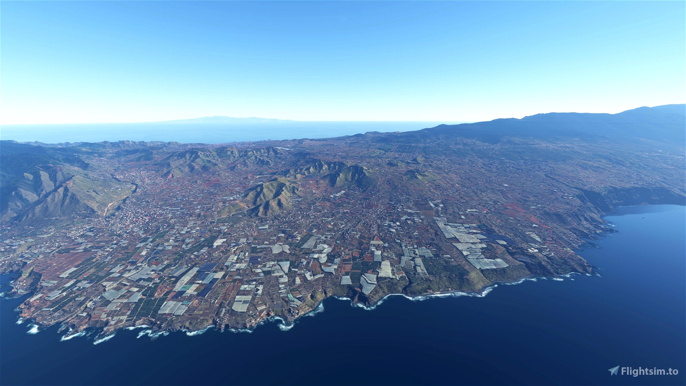
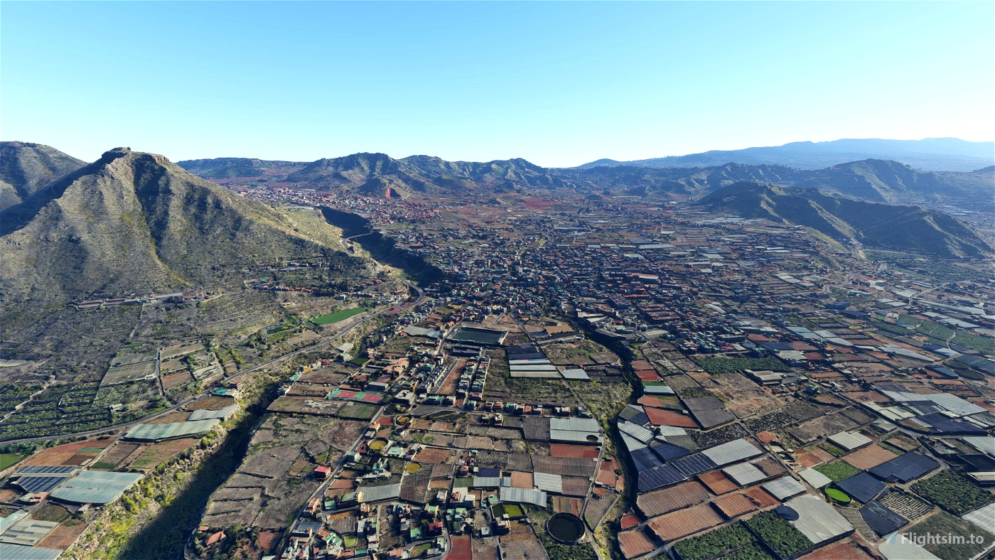
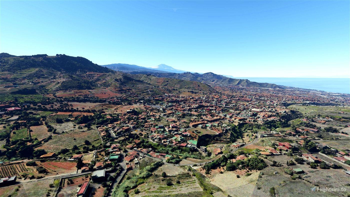
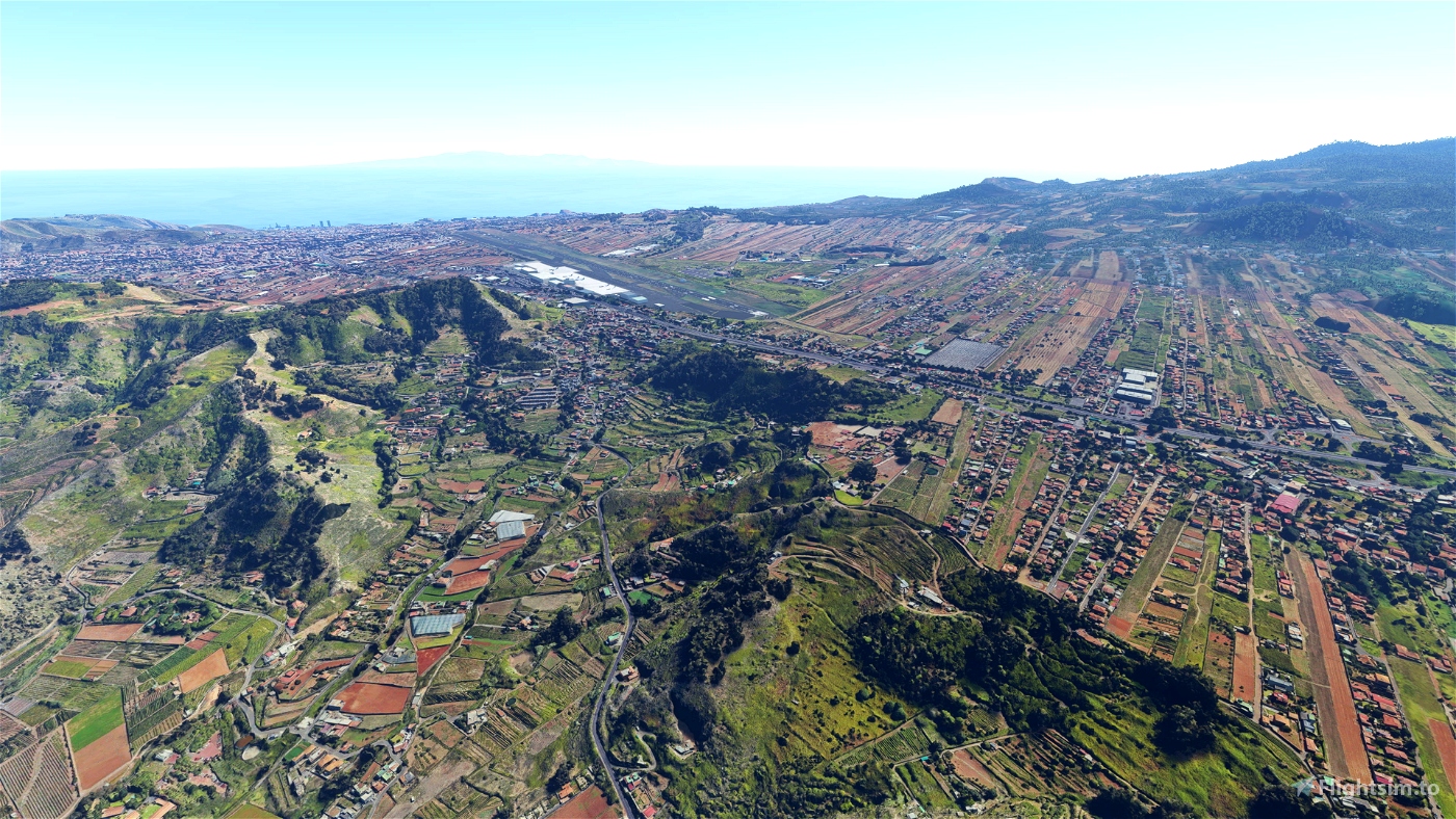
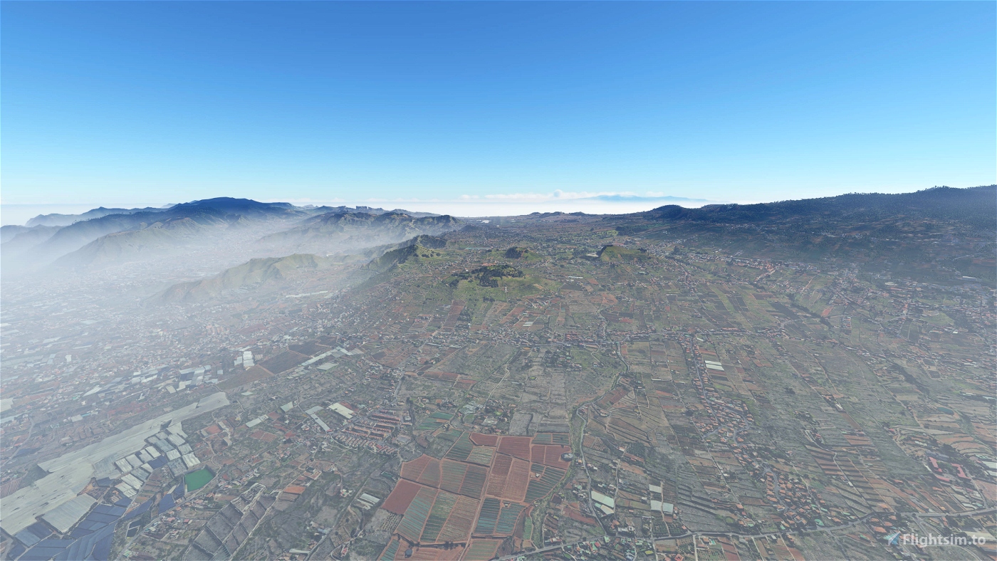
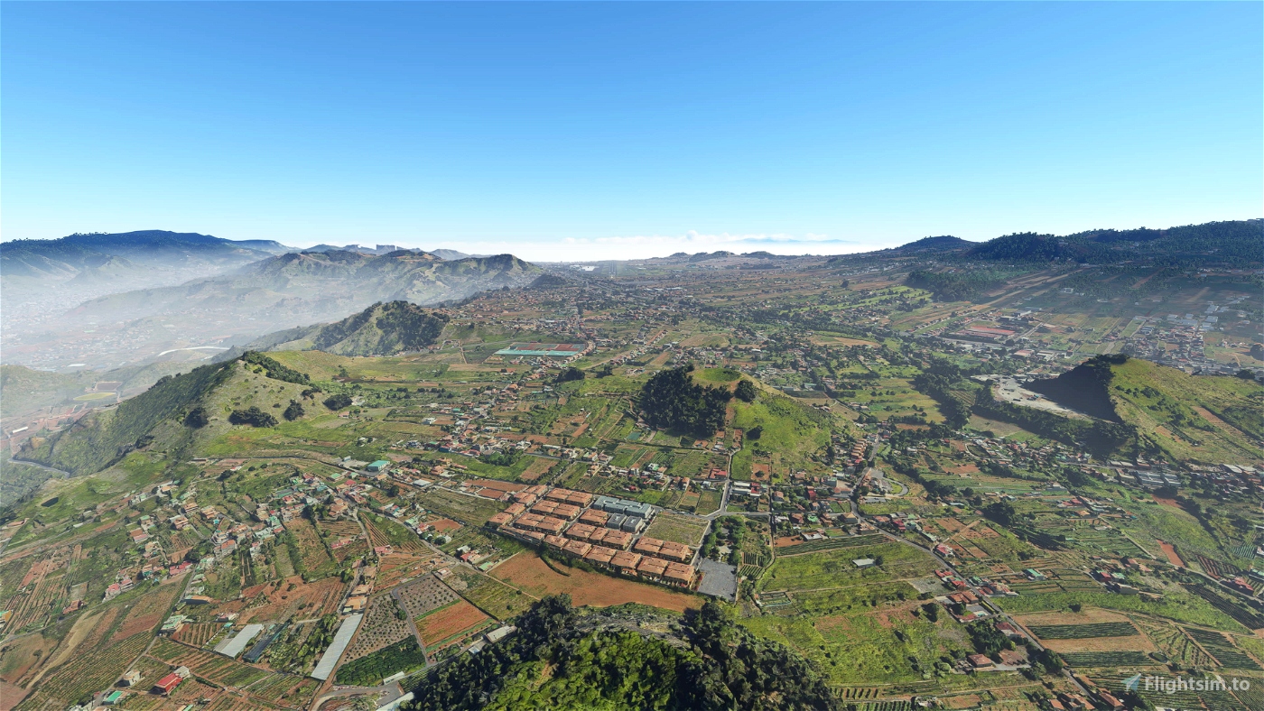
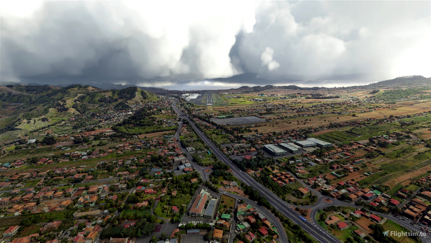
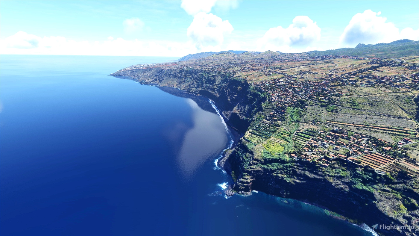
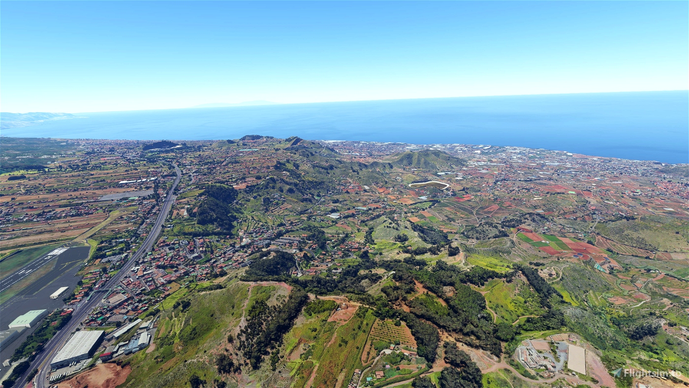
Area around Tegueste, Tacoronte and GCXO RW12 Approach on Tenerife Island based on Google Maps photogrammetry
This is part of multiple packages that cover Tenerife photogrammetry. I recommend using them together, here is a list of them:
Sceneries on Tenerife
- Santa Cruz de Tenerife area - GCXO Approach RW 30
- Tegueste and Tacoronte area - GCXO Approach RW 12
- Puerto de la Cruz area
Install
1. It's recommended to use a better DEM to improve blending with default scenery. I recommend installing Mikeaat 20M DEM for Canary Islands. Also, you can use Taburet 5M DEM if you want as it's compatible (payware).
2. Download and unzip on Community folder
Credits
Jonahex111 (Goolge Earth Decoder)
thalixte (Optimization tool for Google Earth Decoder)
Google Maps

 ezro
ezro 


rdpm
Good morning, Ezro.
I have observed a problem with textures along Tenerife north coast: in front of Santa Ursula, the terrain is flat and with Bing textures (sorry I don´t know how to attach screenshots).
Regards
goggless
Hi Ezro, great to see you continuing on these islands, I guess I know where I'm flying today... thanks as always 😊
I see that in your descriptions you advise the mikeat 20m DEM and the payware taburet 5m DEM, but did you know there's an even better one, a *2m* DEM that's freeware made by spritelyoldman? Here it is, if you like it please point people to it: https://flightsim.to/file/22276/canarydem